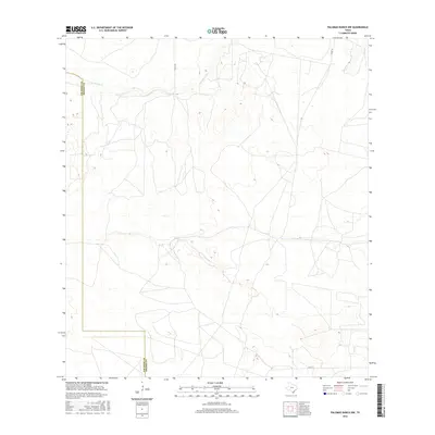
2016 Map of Palomas Ranch NW
USGS Topo · Published 2016About this map
Palo Blanco Cr meanders across this South Texas landscape, defining the local drainage patterns in a region characterized by expansive ranch lands. The boundary between Jim Hogg Co and Brooks Co is clearly delineated, marking a significant geopolitical divide in this portion of the brush country. This 2016 survey illustrates a sparse network of county roads, including Co Rd 109, Co Rd 111, and Co Rd 107, which provide the primary access to the large landholdings in the area. The map's contour lines reveal the subtle, low-relief topography typical of the Rio Grande Plain, where small depressions and intermittent watercourses shape the rural layout. This documentation is essential for understanding the modern distribution of family-owned ranching territories and the enduring infrastructure of the Texas borderlands.
Find a feature on this map
5 named features on this map. Tap any name to fly to it.
Don’t see what you’re looking for? This feature index may not catch every label — zoom into the map to look around manually.
Map Details
Editions of this 2016 Palomas Ranch NW Map
This is the sole edition of this map. No revisions or reprints were ever made.
Other maps of this area

1921 · Falfurrias
USGS Topo · 1:125,000

1956 · Laredo
USGS Topo · 1:250,000

1967 · Hebbronville SE
USGS Topo · 1:24,000

1968 · Palomas Ranch NW
USGS Topo · 1:24,000

1968 · Palomas Ranch SW
USGS Topo · 1:24,000

1968 · Palomas Ranch SE
USGS Topo · 1:24,000

1968 · Palomas Ranch
USGS Topo · 1:24,000
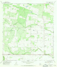
1969 · Laguna Del Toro
USGS Topo · 1:24,000
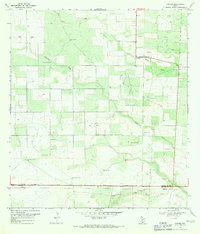
1969 · Ramirez
USGS Topo · 1:24,000
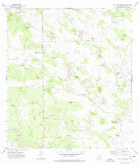
1972 · Alta Vista Ranch
USGS Topo · 1:24,000