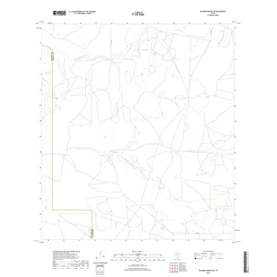
2019 Map of Palomas Ranch NW
USGS Topo · Published 2019About this map
The south Texas ranchlands of Jim Hogg and Brooks counties are defined by the winding course of Palo Blanco Cr as it traverses this arid landscape. This 2019 survey captures a vast, sparsely populated area where the primary human footprint is marked by a network of rural routes such as Co RD 109, Co RD 107, and Co RD 111. The map reveals the intricate drainage patterns and natural contours that dictate the layout of these remote cattle ranching territories. The boundary between Jim Hogg Co and Brooks Co is clearly delineated, showing how political divisions align with the physical geography of the brush country. This record is essential for understanding the modern infrastructure and topographical nuances of this specific borderlands region.
Find a feature on this map
5 named features on this map. Tap any name to fly to it.
Don’t see what you’re looking for? This feature index may not catch every label — zoom into the map to look around manually.
Map Details
Editions of this 2019 Palomas Ranch NW Map
This is the sole edition of this map. No revisions or reprints were ever made.
Other maps of this area

1921 · Falfurrias
USGS Topo · 1:125,000

1956 · Laredo
USGS Topo · 1:250,000

1967 · Hebbronville SE
USGS Topo · 1:24,000

1968 · Palomas Ranch NW
USGS Topo · 1:24,000

1968 · Palomas Ranch SW
USGS Topo · 1:24,000

1968 · Palomas Ranch SE
USGS Topo · 1:24,000

1968 · Palomas Ranch
USGS Topo · 1:24,000
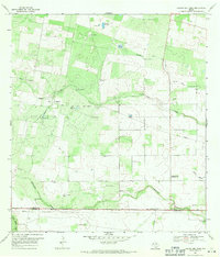
1969 · Laguna Del Toro
USGS Topo · 1:24,000
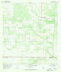
1969 · Ramirez
USGS Topo · 1:24,000
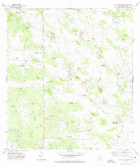
1972 · Alta Vista Ranch
USGS Topo · 1:24,000