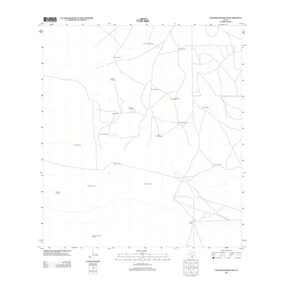
2013 Map of Palomas Ranch SW
USGS Topo · Published 2013About this map
Jim Hogg County ranch land is defined by an intricate network of livestock infrastructure in this southern Texas survey. The landscape is dotted with named water sources essential for cattle operations, including Las Coyotas Windmill and Agua Nueva Windmill. These features, often bearing Spanish names such as La Javalina Windmill and San Javier de Ajuera Windmill, reflect the deep-rooted heritage of the region's ranching economy. The distribution of these windmills, from Chocolate Windmill in the west to Northe Windmill in the east, reveals the practical layout of grazing tracts where water security dictated the movement of livestock. A series of unimproved roads and 4WD tracks connect these sites, illustrating the remote and specialized nature of land use in this part of the Rio Grande Plain. Other notable landmarks providing insight into local geography include Agua Dulce Windmill and Avispa Windmill.
Find a feature on this map
20 named features on this map. Tap any name to fly to it.
Don’t see what you’re looking for? This feature index may not catch every label — zoom into the map to look around manually.
Map Details
Editions of this 2013 Palomas Ranch SW Map
This is the sole edition of this map. No revisions or reprints were ever made.
Other maps of this area

1921 · Falfurrias
USGS Topo · 1:125,000

1938 · Agua Nueva
USGS Topo · 1:62,500

1939 · Encantada
USGS Topo · 1:62,500

1949 · Mc Allen
USGS Topo · 1:250,000

1954 · McAllen
USGS Topo · 1:250,000

1956 · Laredo
USGS Topo · 1:250,000

1957 · Mc Allen
USGS Topo · 1:250,000

1962 · McAllen
USGS Topo · 1:250,000

1968 · Palomas Ranch NW
USGS Topo · 1:24,000

1968 · Palomas Ranch SW
USGS Topo · 1:24,000