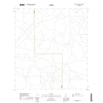
2019 Map of Palomas Ranch SW
USGS Topo · Published 2019About this map
South Texas scrubland and ranching territory define this landscape where the boundary between Jim Hogg Co and Brooks Co creates a sharp rectangular notch in the regional geography. This 2019 survey documents a sparse network of ranch roads and unimproved trails that crisscross the sandy terrain, reflecting a pattern of land use focused on large-scale cattle operations rather than concentrated settlements. The terrain is marked by subtle topographic shifts and small depressions that form seasonal wetlands, typical of the Rio Grande Plain. While modern in its production, the map captures a rural environment that has remained largely defined by its geopolitical boundaries and pastoral economy for generations.
Find a feature on this map
1 named feature on this map. Tap any name to fly to it.
Don’t see what you’re looking for? This feature index may not catch every label — zoom into the map to look around manually.
Map Details
Editions of this 2019 Palomas Ranch SW Map
This is the sole edition of this map. No revisions or reprints were ever made.
Other maps of this area

1921 · Falfurrias
USGS Topo · 1:125,000

1938 · Agua Nueva
USGS Topo · 1:62,500

1939 · Encantada
USGS Topo · 1:62,500

1949 · Mc Allen
USGS Topo · 1:250,000

1954 · McAllen
USGS Topo · 1:250,000

1956 · Laredo
USGS Topo · 1:250,000

1957 · Mc Allen
USGS Topo · 1:250,000

1962 · McAllen
USGS Topo · 1:250,000

1968 · Palomas Ranch NW
USGS Topo · 1:24,000

1968 · Palomas Ranch SW
USGS Topo · 1:24,000