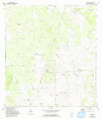
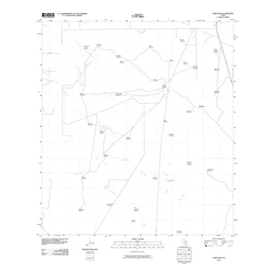
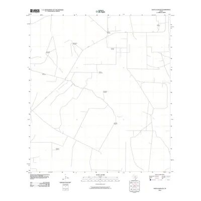
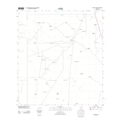
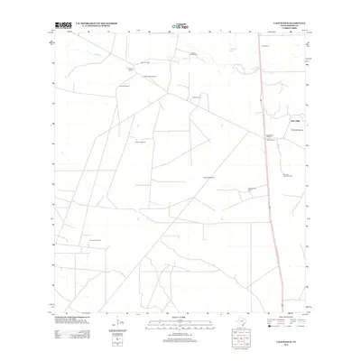
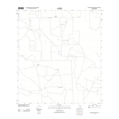
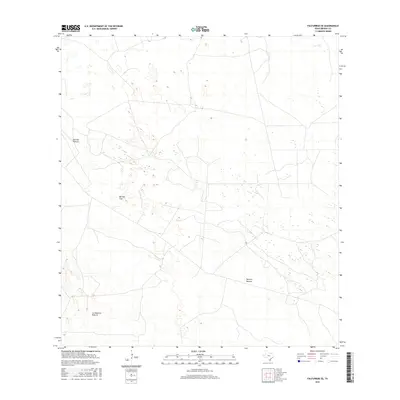
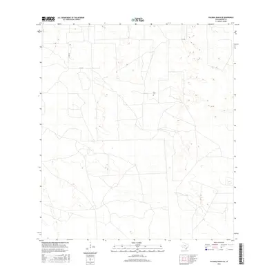
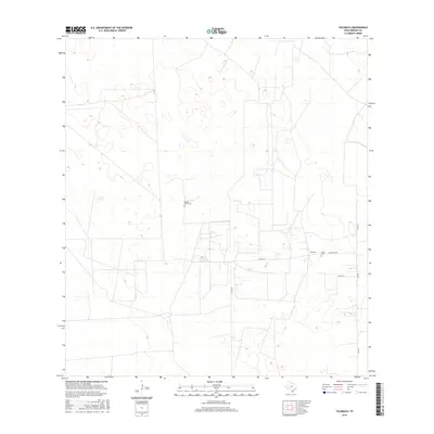
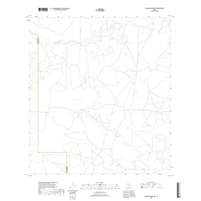
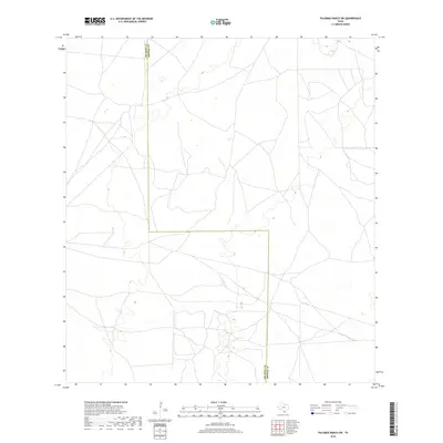
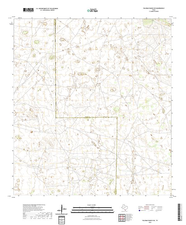
1968 Map of Palomas Ranch SW
USGS Topo · Published 1982About this map
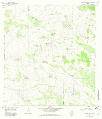
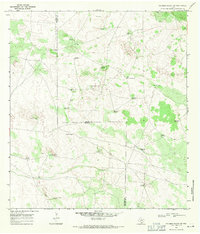
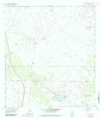
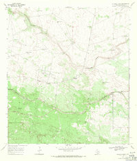
Deep in the South Texas brush country during the late 1960s, the boundary between Jim Hogg Co and Brooks Co bisects a landscape defined by ranching infrastructure and water access. The map reveals a sophisticated network of water sources essential for livestock in this semi-arid environment, characterized by numerous named windmills and artesian wells. Notable sites include the Rayosa Well (Flowing) and Lindero Well (Flowing), which indicate naturally pressurized groundwater, a critical resource for local landholders.
Find a feature on this map
25 named features on this map. Tap any name to fly to it.
Don’t see what you’re looking for? This feature index may not catch every label — zoom into the map to look around manually.
Map Details
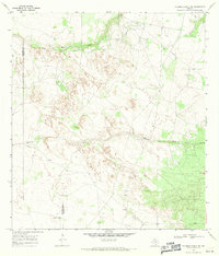
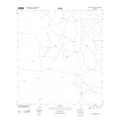
Editions of this 1968 Palomas Ranch SW Map
2 editions found
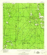
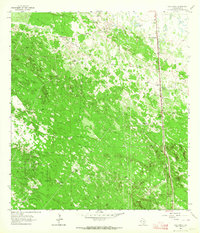
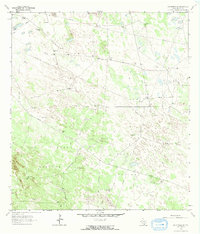
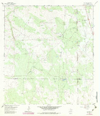
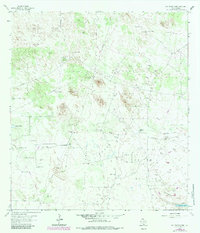
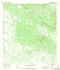
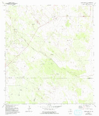
Historical Maps of Brooks County Through Time
67 maps found
1939 Encantada
Brooks County, TX
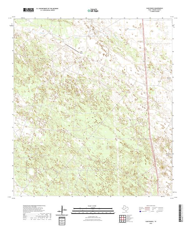
1963 Cage Ranch
Brooks County, TX
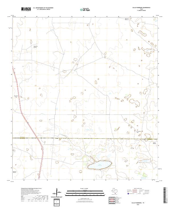
1963 Callo Padrones
Brooks County, TX
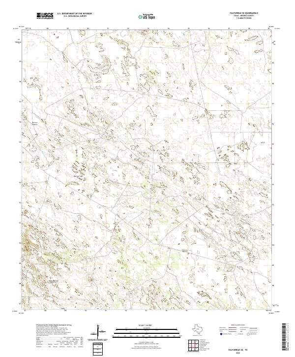
1963 Falfurrias SE
Brooks County, TX
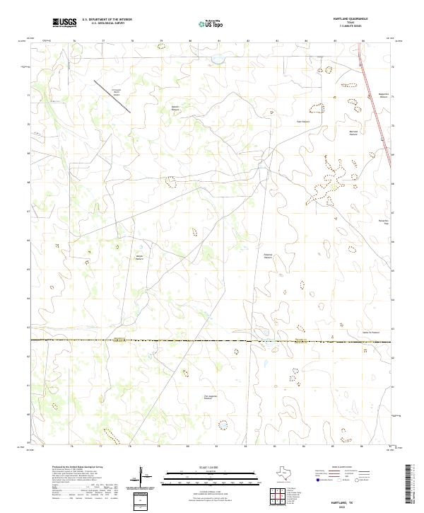
1963 Hartland
Brooks County, TX
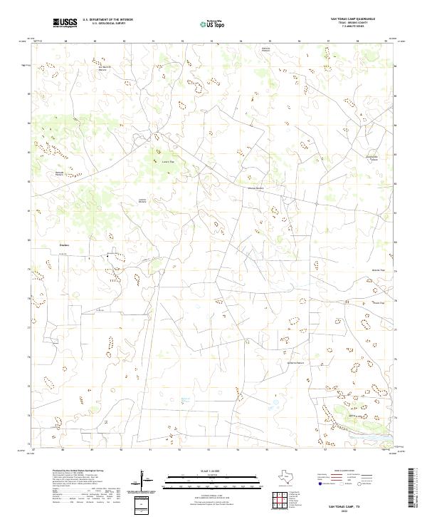
1963 San Tomas Camp
Brooks County, TX
1968 Palomas Ranch
Brooks County, TX
1968 Palomas Ranch NW
Brooks County, TX
1968 Palomas Ranch SE
Brooks County, TX
1968 Palomas Ranch SW
Brooks County, TX
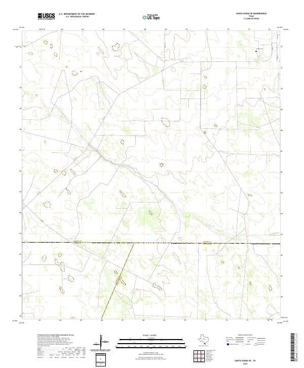
1972 Santa Elena SE
Brooks County, TX
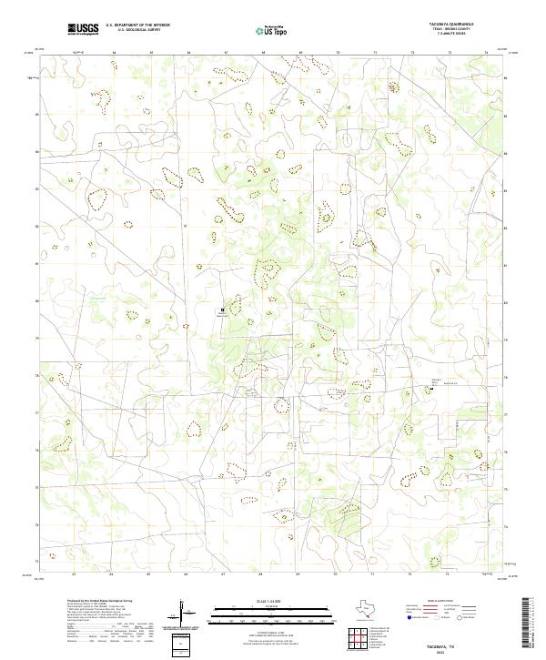
1972 Tacubaya
Brooks County, TX
2010 Cage Ranch
Brooks County, TX
2010 Callo Padrones
Brooks County, TX
2010 Falfurrias SE
Brooks County, TX
2010 Hartland
Brooks County, TX
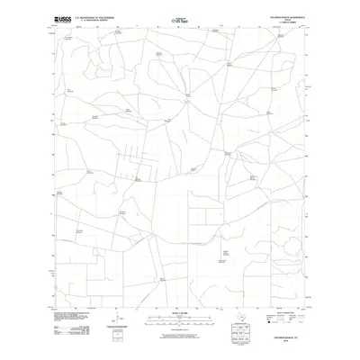
2010 Palomas Ranch
Brooks County, TX
2010 Palomas Ranch NW
Brooks County, TX
2010 Palomas Ranch SE
Brooks County, TX

2010 Palomas Ranch SW
Brooks County, TX
2010 Santa Elena SE
Brooks County, TX
2010 San Tomas Camp
Brooks County, TX
2010 Tacubaya
Brooks County, TX
2012 Callo Padrones
Brooks County, TX
2012 Hartland
Brooks County, TX
2012 Santa Elena SE
Brooks County, TX
2012 San Tomas Camp
Brooks County, TX
2012 Tacubaya
Brooks County, TX
2013 Cage Ranch
Brooks County, TX
2013 Falfurrias SE
Brooks County, TX
2013 Palomas Ranch
Brooks County, TX
2013 Palomas Ranch NW
Brooks County, TX
2013 Palomas Ranch SE
Brooks County, TX
2013 Palomas Ranch SW
Brooks County, TX
2016 Cage Ranch
Brooks County, TX
2016 Callo Padrones
Brooks County, TX
2016 Falfurrias SE
Brooks County, TX
2016 Hartland
Brooks County, TX
2016 Palomas Ranch
Brooks County, TX
2016 Palomas Ranch NW
Brooks County, TX
2016 Palomas Ranch SE
Brooks County, TX
2016 Palomas Ranch SW
Brooks County, TX
2016 Santa Elena SE
Brooks County, TX
2016 San Tomas Camp
Brooks County, TX
2016 Tacubaya
Brooks County, TX
2019 Cage Ranch
Brooks County, TX
2019 Callo Padrones
Brooks County, TX
2019 Falfurrias SE
Brooks County, TX
2019 Hartland
Brooks County, TX
2019 Palomas Ranch
Brooks County, TX
2019 Palomas Ranch NW
Brooks County, TX
2019 Palomas Ranch SE
Brooks County, TX
2019 Palomas Ranch SW
Brooks County, TX
2019 Santa Elena SE
Brooks County, TX
2019 San Tomas Camp
Brooks County, TX
2019 Tacubaya
Brooks County, TX
2022 Cage Ranch
Brooks County, TX
2022 Callo Padrones
Brooks County, TX
2022 Falfurrias SE
Brooks County, TX
2022 Hartland
Brooks County, TX
2022 Palomas Ranch
Brooks County, TX
2022 Palomas Ranch NW
Brooks County, TX
2022 Palomas Ranch SE
Brooks County, TX
2022 Palomas Ranch SW
Brooks County, TX
2022 Santa Elena SE
Brooks County, TX
2022 San Tomas Camp
Brooks County, TX
2022 Tacubaya
Brooks County, TX