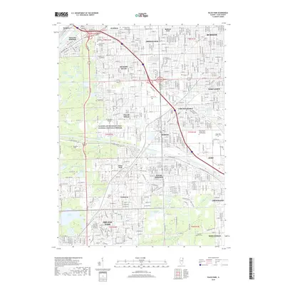
2018 Map of Palos Park
USGS Topo · Published 2018About this map
The Illinois and Michigan Canal National Heritage Corridor serves as a primary geographical spine for this region of Cook County, where industrial waterways meet extensive forest preserve wetlands. The landscape is defined by the Calumet Sag Channel and a series of uniquely named water bodies like Hogwash Slough, Laughing Squaw Sloughs, and Belly Deep Slough. This modern survey illustrates the dense suburban growth of Palos Hills, Hickory Hills, and Orland Park, contrasting sharply with the preserved natural areas surrounding Swallow Cliffs and Orland Lake. Genealogists will find a significant concentration of memorial sites, from the sprawling Resurrection Catholic Cem and Mausoleums in the north to the storied Bachelor Grove Cem in the south, alongside institutional landmarks like Moraine Valley Community College.
Find a feature on this map
72 named features on this map. Tap any name to fly to it.
Don’t see what you’re looking for? This feature index may not catch every label — zoom into the map to look around manually.
Map Details
Editions of this 2018 Palos Park Map
This is the sole edition of this map. No revisions or reprints were ever made.
Other maps of this area

1889 · Chicago
USGS Topo · 1:62,500

1890 · Des Plaines
USGS Topo · 1:62,500

1891 · Chicago
USGS Topo · 1:62,500

1891 · Riverside
USGS Topo · 1:62,500

1892 · Calumet
USGS Topo · 1:62,500

1893 · Calumet
USGS Topo · 1:62,500

1893 · Riverside
USGS Topo · 1:62,500

1894 · Des Plaines
USGS Topo · 1:62,500

1900 · Chicago
USGS Topo · 1:62,500

1900 · Des Plaines
USGS Topo · 1:62,500