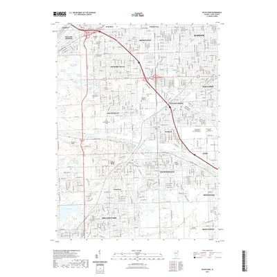
2021 Map of Palos Park
USGS Topo · Published 2021About this map
Bridgeview and Hickory Hills anchor this detailed study of Cook County's southwest suburbs, where modern residential expansion meets a complex landscape of forest preserves and industrial corridors. The Calumet-Sag Channel bisects the area, providing a hard industrial boundary between the suburban grids of Worth and the extensive recreational lands to the west. This geography is defined by an unusual concentration of glacial features and sloughs, including Boomerang Slough, Cranberry Slough, and the Swallow Cliffs, illustrating the preservation of open space amidst the sprawl of the Chicago metropolitan area.
Find a feature on this map
69 named features on this map. Tap any name to fly to it.
Don’t see what you’re looking for? This feature index may not catch every label — zoom into the map to look around manually.
Map Details
Editions of this 2021 Palos Park Map
This is the sole edition of this map. No revisions or reprints were ever made.
Other maps of this area

1889 · Chicago
USGS Topo · 1:62,500

1890 · Des Plaines
USGS Topo · 1:62,500

1891 · Chicago
USGS Topo · 1:62,500

1891 · Riverside
USGS Topo · 1:62,500

1892 · Calumet
USGS Topo · 1:62,500

1893 · Calumet
USGS Topo · 1:62,500

1893 · Riverside
USGS Topo · 1:62,500

1894 · Des Plaines
USGS Topo · 1:62,500

1900 · Chicago
USGS Topo · 1:62,500

1900 · Des Plaines
USGS Topo · 1:62,500