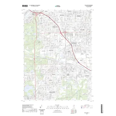
2023 Map of Palos Park
USGS Topo · Published 2023About this map
Cook County is defined here by the dense convergence of suburban development and a complex network of waterways southwest of Chicago. The Calumet Sag Channel serves as a major industrial artery, bisecting communities like Worth, Palos Heights, and Alsip. This modern survey reveals how the landscape is punctuated by numerous sloughs and lakes, including Boomerang Slough, Cranberry Slough, and Tuma Lake, which provide a natural contrast to the grid of residential streets in Hickory Hills and Oak Lawn.
Find a feature on this map
86 named features on this map. Tap any name to fly to it.
Don’t see what you’re looking for? This feature index may not catch every label — zoom into the map to look around manually.
Map Details
Editions of this 2023 Palos Park Map
This is the sole edition of this map. No revisions or reprints were ever made.
Other maps of this area

1889 · Chicago
USGS Topo · 1:62,500

1890 · Des Plaines
USGS Topo · 1:62,500

1891 · Chicago
USGS Topo · 1:62,500

1891 · Riverside
USGS Topo · 1:62,500

1892 · Calumet
USGS Topo · 1:62,500

1893 · Calumet
USGS Topo · 1:62,500

1893 · Riverside
USGS Topo · 1:62,500

1894 · Des Plaines
USGS Topo · 1:62,500

1900 · Chicago
USGS Topo · 1:62,500

1900 · Des Plaines
USGS Topo · 1:62,500