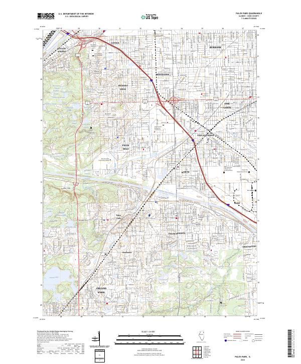
2024 Map of Palos Park
USGS Topo · Published 2024About this map
The Des Plaines River and the engineered Calumet Sag Channel anchor this detailed study of Cook County's southwestern suburbs. The landscape is a complex mix of dense residential grids in Justice, Bridgeview, and Hickory Hills set against an extensive network of forest preserves and water bodies. Numerous named wetlands, such as Boomerang Slough and Red Wing Slough, highlight the area's glacial topography and conservation efforts within the suburban sprawl.
Find a feature on this map
66 named features on this map. Tap any name to fly to it.
Don’t see what you’re looking for? This feature index may not catch every label — zoom into the map to look around manually.
Map Details
Editions of this 2024 Palos Park Map
This is the sole edition of this map. No revisions or reprints were ever made.
Other maps of this area

1889 · Chicago
USGS Topo · 1:62,500

1890 · Des Plaines
USGS Topo · 1:62,500

1891 · Chicago
USGS Topo · 1:62,500

1891 · Riverside
USGS Topo · 1:62,500

1892 · Calumet
USGS Topo · 1:62,500

1893 · Calumet
USGS Topo · 1:62,500

1893 · Riverside
USGS Topo · 1:62,500

1894 · Des Plaines
USGS Topo · 1:62,500

1900 · Chicago
USGS Topo · 1:62,500

1900 · Des Plaines
USGS Topo · 1:62,500