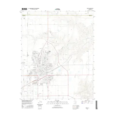
2016 Map of Pampa
USGS Topo · Published 2016About this map
Pampa serves as the focal point of this Panhandle landscape, where the urban grid meets the rolling drainages of the Texas high plains. The city's mid-century expansion is visible through established neighborhoods and local landmarks like Fairview Cem and Mesilla Park. To the north, the terrain transitions into the breaks of the Red Deer Cr watershed, marked by the irregular contours that contrast with the town’s orderly streets. The map detail highlights key community infrastructure, including Memory Gardens of Pampa on the western edge and Perry Lefors Field to the northwest. Hydrological features such as City of Pampa Lake provide localized relief within the dry upland environment. Significant thoroughfares like Ranch Rd 282 and the Roberts Co Gray Co line define the administrative and transportation boundaries of this livestock and energy-producing region.
Find a feature on this map
130 named features on this map. Tap any name to fly to it.
Don’t see what you’re looking for? This feature index may not catch every label — zoom into the map to look around manually.
Map Details
Editions of this 2016 Pampa Map
This is the sole edition of this map. No revisions or reprints were ever made.
Other maps of this area

1954 · Amarillo
USGS Topo · 1:250,000

1958 · Amarillo
USGS Topo · 1:250,000

1963 · Pampa
USGS Topo · 1:24,000

1965 · Lake Mc Connell
USGS Topo · 1:24,000

1966 · Kingsmill
USGS Topo · 1:24,000

1966 · Bowers City
USGS Topo · 1:24,000

1967 · Lefors
USGS Topo · 1:24,000

1967 · Hoover
USGS Topo · 1:24,000

1971 · Skellytown NE
USGS Topo · 1:24,000

1971 · Pampa NW
USGS Topo · 1:24,000