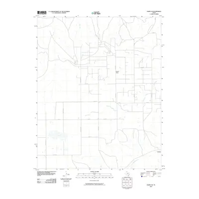
2010 Map of Pampa NE
USGS Topo · Published 2010About this map
The Quinpono Gas and Oil Field anchors the industrial character of this Roberts County landscape, illustrating the critical role of energy extraction in the Texas Panhandle. This area is defined by a dense grid of rural corridors and family-named thoroughfares, such as Haggard Rd and Turkey Track Rd, which facilitate transport across the drainage basins of Indian Creek and Bluff Creek. The small settlement of Codman sits in the southeast, near where Red Deer Creek cuts through the terrain. The map documents a classic Panhandle intersection of ranching infrastructure and petroleum development, where roads like Stone Rd and Bean Rd provide access to remote well sites and agricultural holdings. The hydrography, featuring several intermittent watercourses and small ponds, highlights the reliance on local creek beds to manage water in this semi-arid region.
Find a feature on this map
20 named features on this map. Tap any name to fly to it.
Don’t see what you’re looking for? This feature index may not catch every label — zoom into the map to look around manually.
Map Details
Editions of this 2010 Pampa NE Map
This is the sole edition of this map. No revisions or reprints were ever made.
Other maps of this area

1954 · Amarillo
USGS Topo · 1:250,000

1958 · Amarillo
USGS Topo · 1:250,000

1963 · Pampa
USGS Topo · 1:24,000

1966 · Laketon
USGS Topo · 1:24,000

1967 · Hoover
USGS Topo · 1:24,000

1971 · Dry Creek South
USGS Topo · 1:24,000

1971 · Dry Creek SE
USGS Topo · 1:24,000

1971 · Pampa NW
USGS Topo · 1:24,000

1972 · Pampa NE
USGS Topo · 1:24,000

1972 · Miami
USGS Topo · 1:24,000