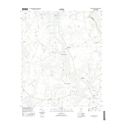
2017 Map of Pamplico South
USGS Topo · Published 2017About this map
Great Pee Dee River and Lynches River frame the low-lying drainage basins of Florence County, where a network of cypress swamps and bays defines the local geography. The landscape is marked by historic rural gathering points such as Pamplico, Hyman, and Hannah, connected by a web of crossroads like Butler Crossroads and Bazen Crossroads. Genealogy researchers will find significant value in the numerous burial grounds documented across the coastal plain, including Stone Chapel Cem, Aimwell Cem, and Prosser Cem. The area is characterized by distinctive elliptical depressions known locally as bays, such as Sugarfoot Bay and Cockfield Bay, which punctuate the timber and agricultural lands. Near the riverbanks, features like DeWitt Bluff provide rare elevation above the winding Pitch Pot Swamp and Big Swamp Br.
Find a feature on this map
112 named features on this map. Tap any name to fly to it.
Don’t see what you’re looking for? This feature index may not catch every label — zoom into the map to look around manually.
Map Details
Editions of this 2017 Pamplico South Map
This is the sole edition of this map. No revisions or reprints were ever made.
Other maps of this area

1940 · Florence East
USGS Topo · 1:62,500

1945 · Florence East
USGS Topo · 1:62,500

1946 · Hyman
USGS Topo · 1:62,500

1946 · Johnsonville
USGS Topo · 1:62,500

1947 · Friendship
USGS Topo · 1:24,000

1949 · Georgetown
USGS Topo · 1:250,000

1953 · Florence
USGS Topo · 1:250,000

1954 · Florence
USGS Topo · 1:250,000

1967 · Georgetown
USGS Topo · 1:250,000

1974 · Georgetown
USGS Topo · 1:250,000