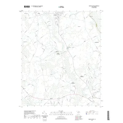
2020 Map of Pamplico South
USGS Topo · Published 2020About this map
Pamplico serves as the primary hub of this eastern South Carolina landscape, where the Great Pee Dee River defines the northeastern boundary and the Lynches River flows along the southern edge. The terrain is characterized by numerous bays and swamps, including Sugarfoot Bay, Myers Bay, and the expansive Big Swamp Br. Small rural junctions such as Butler Crossroads, Poston Crossroads, and Bazen Crossroads illustrate the traditional crossroads settlement pattern of the region. Family and community history is anchored by a dense network of local burial grounds, ranging from Old Salem Cem and Union Cem to Aimwell Cem. Agricultural activity is evident at Weaver Field, while water management is highlighted by the Coleman Pond Dam. The map also captures several named depressions and ponds like J H Holliday Pond and Pitch Pot Swamp, reflecting the low-lying, water-dependent nature of the coastal plain environment in this part of Florence County.
Find a feature on this map
129 named features on this map. Tap any name to fly to it.
Don’t see what you’re looking for? This feature index may not catch every label — zoom into the map to look around manually.
Map Details
Editions of this 2020 Pamplico South Map
This is the sole edition of this map. No revisions or reprints were ever made.
Other maps of this area

1940 · Florence East
USGS Topo · 1:62,500

1945 · Florence East
USGS Topo · 1:62,500

1946 · Hyman
USGS Topo · 1:62,500

1946 · Johnsonville
USGS Topo · 1:62,500

1947 · Friendship
USGS Topo · 1:24,000

1949 · Georgetown
USGS Topo · 1:250,000

1953 · Florence
USGS Topo · 1:250,000

1954 · Florence
USGS Topo · 1:250,000

1967 · Georgetown
USGS Topo · 1:250,000

1974 · Georgetown
USGS Topo · 1:250,000