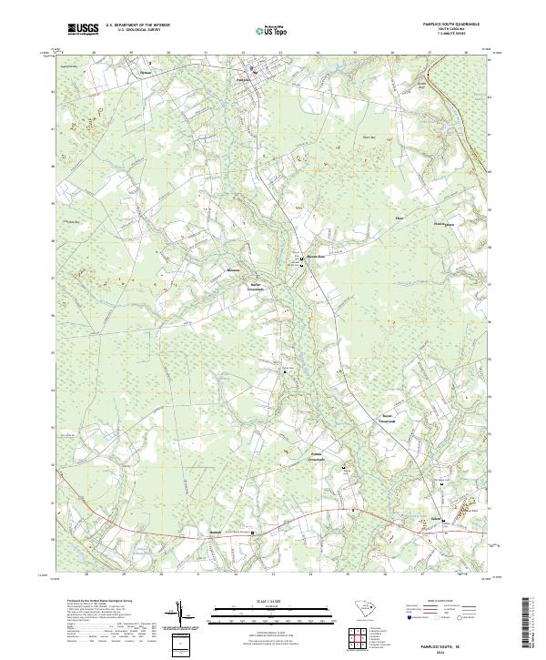
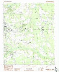
2024 Map of Pamplico South
USGS Topo · Published 2024About this map
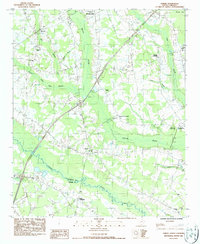
Pamplico and the surrounding agricultural lowlands of Florence County are defined by a network of slow-moving waters and scattered rural communities. The Great Pee Dee River forms a natural eastern boundary near DeWitt Bluff, while the Lynches River flows across the southern reaches of the quadrangle. This area is characterized by a high density of named bays—depression wetlands like Sugarfoot Bay, Myers Bay, and Cockfield Bay—that shaped local road patterns and land use.
Find a feature on this map
122 named features on this map. Tap any name to fly to it.
Don’t see what you’re looking for? This feature index may not catch every label — zoom into the map to look around manually.
Map Details
Editions of this 2024 Pamplico South Map
This is the sole edition of this map. No revisions or reprints were ever made.
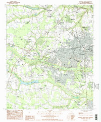
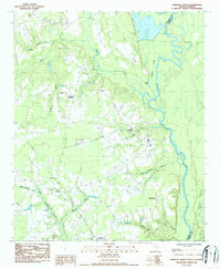
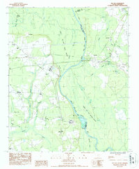
Historical Maps of Bazen Crossroads Through Time
25 maps found

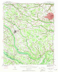
1940 Florence East
Florence County, SC
1940 Florence West
Florence County, SC

1945 Florence East
Florence County, SC

1945 Florence West
Florence County, SC

1946 Hyman
Florence County, SC
1986 Effingham
Florence County, SC
1986 Evergreen
Florence County, SC
1986 Florence East
Florence County, SC
1986 Florence West
Florence County, SC
1986 Pamplico North
Florence County, SC
1986 Pee Dee
Florence County, SC
1986 Sardis
Florence County, SC
1990 Mill Bay
Florence County, SC
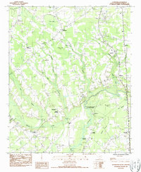
1990 Pamplico South
Florence County, SC
1990 Prospect Crossroads
Florence County, SC
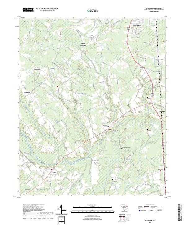
2024 Effingham
Florence County, SC
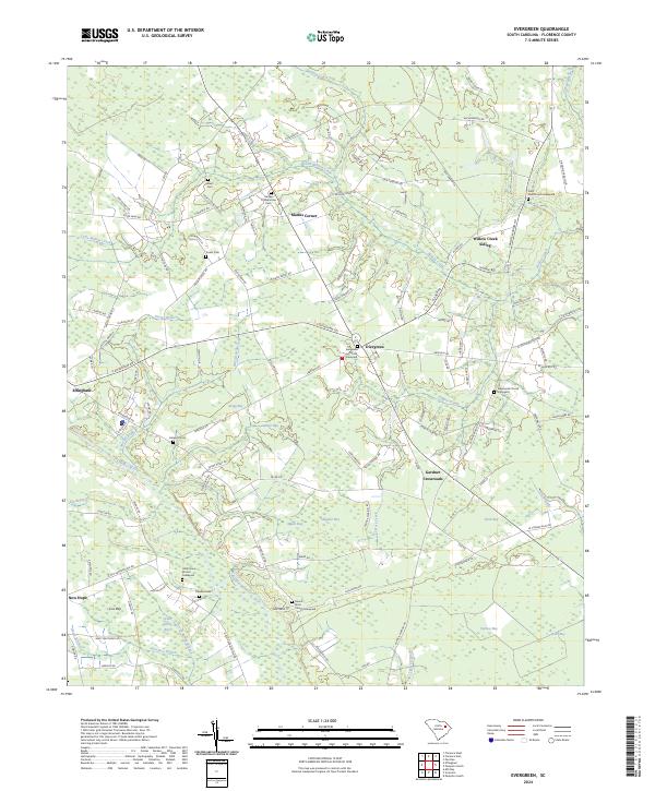
2024 Evergreen
Florence County, SC

2024 Florence East
Florence County, SC
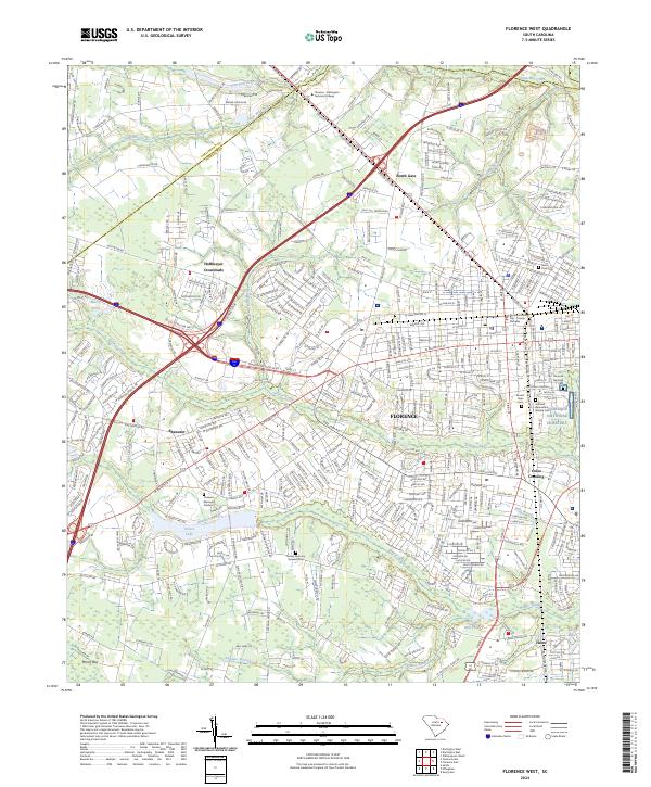
2024 Florence West
Florence County, SC
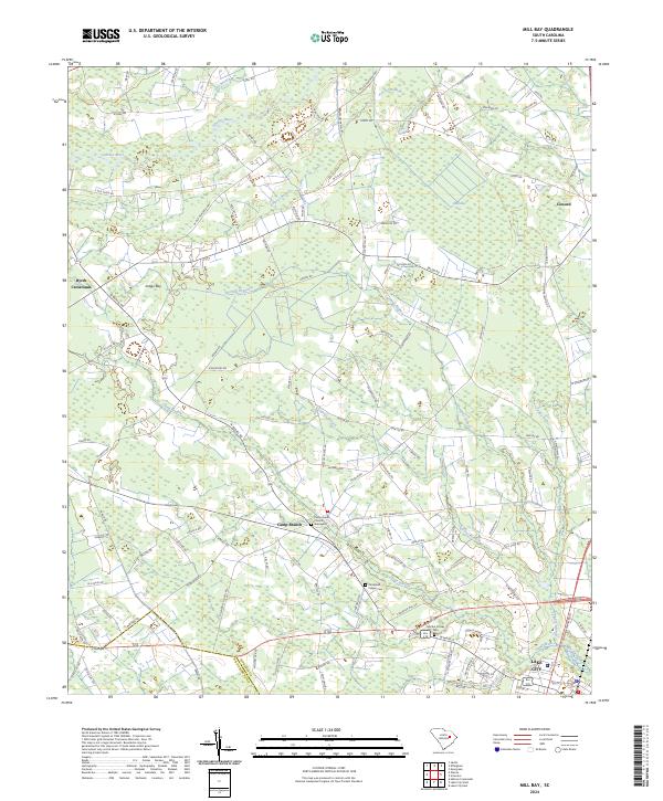
2024 Mill Bay
Florence County, SC
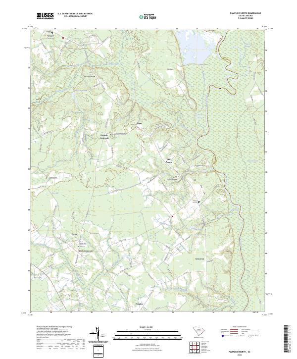
2024 Pamplico North
Florence County, SC
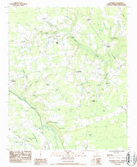
2024 Pamplico South
Florence County, SC
2024 Pee Dee
Florence County, SC
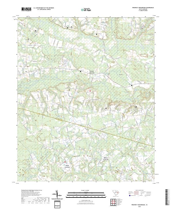
2024 Prospect Crossroads
Florence County, SC
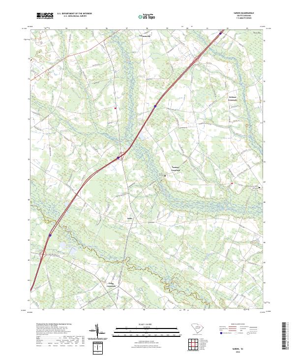
2024 Sardis
Florence County, SC