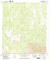
1979 Map of Pan Tak
USGS Topo · Published 1979About this map
The Papago Indian Reservation encompasses this high-desert landscape in Pima County, where drainage systems like Pan Tak Wash and Viopuli Wash carve through the arid terrain. The settlement of Pan Tak serves as a focal point near the northern base of the Coyote Mountains, which rise sharply along the southern edge of the sheet. Resource extraction and water management are primary features of the local economy, evidenced by the Roadside Mine and several scattered Prospects, along with essential water sources like Agua La Vara and Coyote Well. Traces of earlier habitation appear as Ruins and a Cem near the principal village, while the Indian Reservation Boundary cuts across the lower southeastern corner of the quadrangle.
Find a feature on this map
23 named features on this map. Tap any name to fly to it.
Don’t see what you’re looking for? This feature index may not catch every label — zoom into the map to look around manually.
Map Details
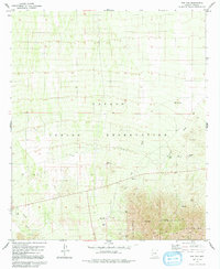
Editions of this 1979 Pan Tak Map
2 editions found
Other maps of this area

1920 · Arivaca
USGS Topo · 1:125,000

1934 · Tucson Mountains
USGS Topo · 1:125,000

1934 · Silver Bell
USGS Topo · 1:125,000

1938 · San Vicente
USGS Topo · 1:62,500

1940 · Palo Alto Ranch
USGS Topo · 1:62,500

1941 · San Vicente
USGS Topo · 1:62,500

1941 · Cocoraque Butte
USGS Topo · 1:62,500

1941 · Baboquivari Peak
USGS Topo · 1:62,500

1942 · San Vicente
USGS Topo · 1:62,500

1943 · Cocoraque Butte
USGS Topo · 1:62,500