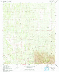
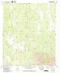
1979 Map of Pan Tak
USGS Topo · Published 1991About this map
The Papago Indian Reservation defines this Pima County landscape, dominated by the transition from arid desert flats to the steep slopes of the Coyote Mountains. Small settlements like Pan Tak and San Pedro are clustered near essential water sources and the highway corridor, illustrating the reliance on seasonal drainages and local wells in this environment. The presence of a Cem and Ruins suggest a long history of occupation and cultural significance within the reservation boundaries.
Find a feature on this map
24 named features on this map. Tap any name to fly to it.
Don’t see what you’re looking for? This feature index may not catch every label — zoom into the map to look around manually.
Map Details
Editions of this 1979 Pan Tak Map
2 editions found
Other maps of this area

1920 · Arivaca
USGS Topo · 1:125,000

1934 · Tucson Mountains
USGS Topo · 1:125,000

1934 · Silver Bell
USGS Topo · 1:125,000

1938 · San Vicente
USGS Topo · 1:62,500

1940 · Palo Alto Ranch
USGS Topo · 1:62,500

1941 · San Vicente
USGS Topo · 1:62,500

1941 · Cocoraque Butte
USGS Topo · 1:62,500

1941 · Baboquivari Peak
USGS Topo · 1:62,500

1942 · San Vicente
USGS Topo · 1:62,500

1943 · Cocoraque Butte
USGS Topo · 1:62,500