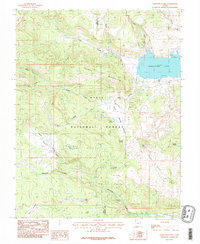
1985 Map of Panguitch Lake
USGS Topo · Published 1985About this map
Panguitch Lake dominates the northeastern corner of this high-altitude landscape, serving as a focal point for recreation with its Boat Ramp, Trailer Park, and Campground facilities. Positioned on the border of Iron and Garfield counties, the area is largely defined by the expansive Dixie National Forest. The map captures a transition from water-rich drainages like Ipson Creek and Blue Spring Creek to the distinct volcanic and geologic features of the southern terrain.
Find a feature on this map
32 named features on this map. Tap any name to fly to it.
Don’t see what you’re looking for? This feature index may not catch every label — zoom into the map to look around manually.
Map Details
Editions of this 1985 Panguitch Lake Map
2 editions found
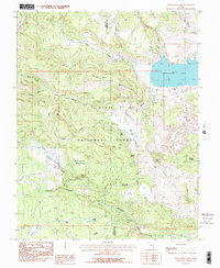
Other maps of this area

1886 · Kanab
USGS Topo · 1:250,000

1953 · Cedar City
USGS Topo · 1:250,000

1958 · Cedar City
USGS Topo · 1:250,000

1958 · Cedar Breaks
USGS Topo · 1:62,500

1958 · Panguitch Lake
USGS Topo · 1:62,500

1962 · Cedar City
USGS Topo · 1:250,000

1971 · Fivemile Ridge
USGS Topo · 1:24,000

1971 · Parowan
USGS Topo · 1:24,000
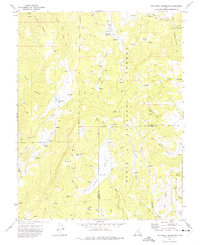
1971 · Red Creek Reservoir
USGS Topo · 1:24,000

1980 · Panguitch
USGS Topo · 1:100,000