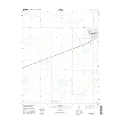
2016 Map of Panhandle West
USGS Topo · Published 2016About this map
The town of Panhandle serves as the focal point of this Carson County survey, showing a well-organized grid of residential streets including Pecan Ave and Franklin Ave. This high-plains landscape is characterized by its agricultural layout, defined by an extensive network of rural roads like Ranch Rd 293 and Co Rd 13. The topography is marked by several depressions and drainage features, most notably McClellan Cr and the waters of Pantex Lake in the northwest corner.
Find a feature on this map
45 named features on this map. Tap any name to fly to it.
Don’t see what you’re looking for? This feature index may not catch every label — zoom into the map to look around manually.
Map Details
Editions of this 2016 Panhandle West Map
This is the sole edition of this map. No revisions or reprints were ever made.
Other maps of this area

1953 · Pomeroy
USGS Topo · 1:24,000

1953 · Sevenmile Basin
USGS Topo · 1:24,000

1954 · Amarillo
USGS Topo · 1:250,000

1956 · Washburn
USGS Topo · 1:24,000

1958 · Amarillo
USGS Topo · 1:250,000

1960 · Claude
USGS Topo · 1:62,500

1965 · Abell
USGS Topo · 1:24,000

1966 · Panhandle West
USGS Topo · 1:24,000

1966 · Panhandle East
USGS Topo · 1:24,000

1966 · Cuyler
USGS Topo · 1:24,000