
1913 Map of Panoche
USGS Topo · Published 1913About this map
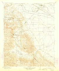
The San Joaquin Valley meets the foothills of the Coast Ranges in this 1913 survey, where agricultural development and ranching define the landscape. Around Dos Palos and South Dos Palos, a network of infrastructure including the Southern Pacific railroad and the Main Outside Canal highlights the early engineering of California's water delivery systems. Near the valley floor, several distinct livestock operations such as Hog Ranch, Sheep Ranch, and Chaney Ranch are noted, indicating the region's diverse late-frontier economy.
Find a feature on this map
56 named features on this map. Tap any name to fly to it.
Don’t see what you’re looking for? This feature index may not catch every label — zoom into the map to look around manually.
Map Details
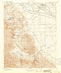
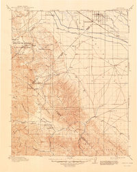
Editions of this 1913 Panoche Map
4 editions found
Other maps of this area

1912 · Coalinga
USGS Topo · 1:125,000

1915 · Priest Valley
USGS Topo · 1:125,000

1916 · Santa Rita Bridge
USGS Topo · 1:24,000

1916 · Delta Ranch
USGS Topo · 1:24,000

1918 · Bliss Ranch
USGS Topo · 1:31,680

1919 · San Benito
USGS Topo · 1:62,500

1920 · Pacheco Pass
USGS Topo · 1:62,500

1920 · Santa Rita Bridge
USGS Topo · 1:31,680

1920 · Carrisalito Spring
USGS Topo · 1:31,680

1921 · Volta
USGS Topo · 1:31,680