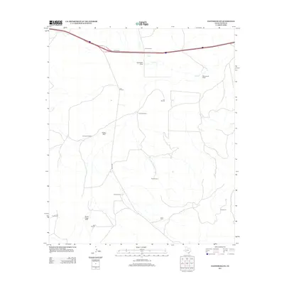
2012 Map of Panther Bluff
USGS Topo · Published 2012About this map
Panther Bluff stands as a prominent landmark in this Pecos County landscape, where the ranching economy is defined by a critical network of water management features. The distribution of infrastructure such as Posey Windmill, Gap Windmill, and Twomile Windmill across the terrain illustrates the necessity of groundwater for sustaining the McKenzie Ranch and Harral Ranch. The topography is etched by seasonal drainage systems, including Sixshooter Draw, Monument Draw, and South Linger Draw, which lead toward Tunas Cr.
Find a feature on this map
19 named features on this map. Tap any name to fly to it.
Don’t see what you’re looking for? This feature index may not catch every label — zoom into the map to look around manually.
Map Details
Editions of this 2012 Panther Bluff Map
This is the sole edition of this map. No revisions or reprints were ever made.
Other maps of this area

1928 · Comanche Spring
USGS Topo · 1:125,000

1929 · Independence Draw Quadrangle
USGS Topo · 1:125,000

1954 · Fort Stockton
USGS Topo · 1:250,000

1958 · Fort Stockton
USGS Topo · 1:250,000

1969 · Bootleg Canyon
USGS Topo · 1:24,000

1969 · Skyscraper Peak
USGS Topo · 1:24,000

1969 · Hackberry Draw NW
USGS Topo · 1:24,000

1970 · East Mesa
USGS Topo · 1:24,000
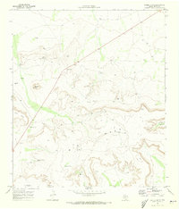
1970 · Saddle Butte
USGS Topo · 1:24,000
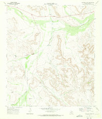
1970 · Panther Bluff
USGS Topo · 1:24,000