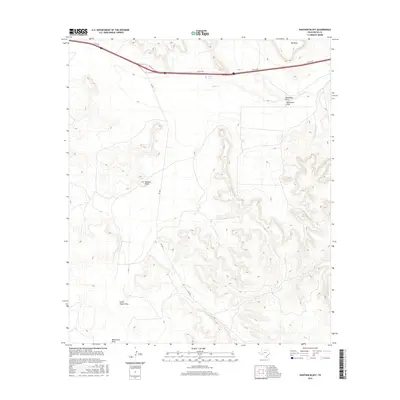
2016 Map of Panther Bluff
USGS Topo · Published 2016About this map
Panther Bluff and the broad expanse of Big Mesa dominate this segment of the Pecos County landscape, where the high desert terrain is defined by a network of drainage systems. The topography is shaped by seasonal watercourses like Tunas Cr and several named draws, including Sixshooter Draw, South Linger Draw, and Monument Draw. These features indicate a classic West Texas environment where water, though infrequent, has deeply carved the limestone and scrubland. Human presence is concentrated along the transportation corridors of I 10 Svc Rd and FM 2023, which bypass the more remote areas near Tunas Springs. This map reveals a region largely preserved in its natural state, providing a clear view of the landforms that have guided travel and ranching in the Trans-Pecos for generations.
Find a feature on this map
9 named features on this map. Tap any name to fly to it.
Don’t see what you’re looking for? This feature index may not catch every label — zoom into the map to look around manually.
Map Details
Editions of this 2016 Panther Bluff Map
This is the sole edition of this map. No revisions or reprints were ever made.
Other maps of this area

1928 · Comanche Spring
USGS Topo · 1:125,000

1929 · Independence Draw Quadrangle
USGS Topo · 1:125,000

1954 · Fort Stockton
USGS Topo · 1:250,000

1958 · Fort Stockton
USGS Topo · 1:250,000

1969 · Bootleg Canyon
USGS Topo · 1:24,000

1969 · Skyscraper Peak
USGS Topo · 1:24,000

1969 · Hackberry Draw NW
USGS Topo · 1:24,000

1970 · East Mesa
USGS Topo · 1:24,000
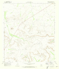
1970 · Saddle Butte
USGS Topo · 1:24,000
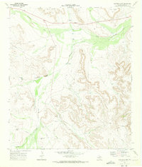
1970 · Panther Bluff
USGS Topo · 1:24,000