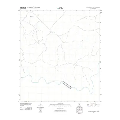
2010 Map of Panther Gulch West
USGS Topo · Published 2010About this map
The Rio Grande snakes along the international border in this 2010 survey of the desert landscape south of the Big Bend region. This map documents the boundary between the United States and Mexico, where the river serves as a natural divide defined by sharp bends and deep drainages. The interior terrain is marked by steep topographical features such as Barrel Canyon in the north and Palmas Canyon in the west, illustrating the complex drainage patterns that feed into the river valley. The namesake Panther Gulch cuts through the eastern portion of the quadrangle, highlighting a landscape where seasonal water flow has carved significant paths through the limestone and scrub. This digital-era survey provides a precise look at the drainage networks and border topography as they existed at the start of the 21st century.
Find a feature on this map
5 named features on this map. Tap any name to fly to it.
Don’t see what you’re looking for? This feature index may not catch every label — zoom into the map to look around manually.
Map Details
Editions of this 2010 Panther Gulch West Map
This is the sole edition of this map. No revisions or reprints were ever made.
Other maps of this area

1918 · Reagan Canyon
USGS Topo · 1:62,500

1918 · Bullis Gap
USGS Topo · 1:62,500

1918 · Indian Wells
USGS Topo · 1:62,500

1959 · Emory Peak
USGS Topo · 1:250,000

1965 · Emory Peak
USGS Topo · 1:250,000
1983 · Panther Gulch East
USGS Topo · 1:24,000
1983 · Bullis Gap
USGS Topo · 1:24,000
1983 · Panther Gulch West
USGS Topo · 1:24,000
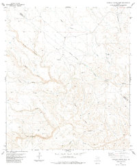
1983 · Candilla Canyon West
USGS Topo · 1:24,000
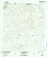
1983 · San Rosendo
USGS Topo · 1:24,000