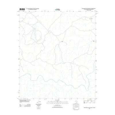
2013 Map of Panther Gulch West
USGS Topo · Published 2013About this map
The Rio Grande winds through this arid landscape, defining the international boundary and the primary drainage system for the region. Ranching operations form the backbone of the local settlement pattern, with the Rio Grande Mesa Ranch in the northeast and Shudde Ranch situated centrally near several overland tracks. This remote terrain is marked by essential water-management features like Double Tanks, which emphasize the necessity of infrastructure in this dry borderland. Along the eastern edge, the topography descends into Panther Gulch, a notable drainage feature that feeds toward the river basin.
Find a feature on this map
5 named features on this map. Tap any name to fly to it.
Don’t see what you’re looking for? This feature index may not catch every label — zoom into the map to look around manually.
Map Details
Editions of this 2013 Panther Gulch West Map
This is the sole edition of this map. No revisions or reprints were ever made.
Other maps of this area

1918 · Reagan Canyon
USGS Topo · 1:62,500

1918 · Bullis Gap
USGS Topo · 1:62,500

1918 · Indian Wells
USGS Topo · 1:62,500

1959 · Emory Peak
USGS Topo · 1:250,000

1965 · Emory Peak
USGS Topo · 1:250,000
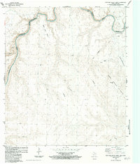
1983 · Panther Gulch East
USGS Topo · 1:24,000
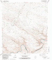
1983 · Bullis Gap
USGS Topo · 1:24,000
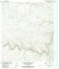
1983 · Panther Gulch West
USGS Topo · 1:24,000
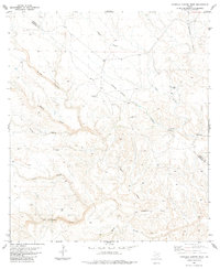
1983 · Candilla Canyon West
USGS Topo · 1:24,000
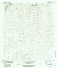
1983 · San Rosendo
USGS Topo · 1:24,000