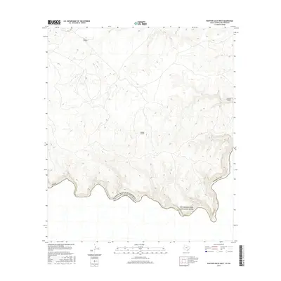
2016 Map of Panther Gulch West
USGS Topo · Published 2016About this map
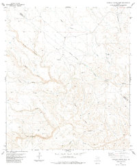
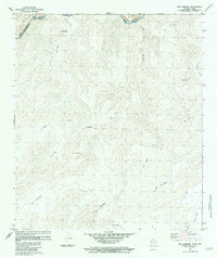
The Rio Grande Wild and Scenic River defines the southern boundary of this remote West Texas landscape, where the United States of America and Mexico meet along the winding course of the Rio Grande. The terrain is characterized by deep drainage systems that cut through the high ground of Brewster County, including the prominent Palmas Canyon and Barrel Canyon in the central and northern sections. These canyons serve as natural conduits for seasonal runoff towards the international border. In the eastern portion of the sheet, Panther Gulch carves its way through the steep topography, illustrating the erosive power of water in this arid environment. The map captures a largely unpopulated region where the natural geology and the international river border are the primary features of interest.
Find a feature on this map
8 named features on this map. Tap any name to fly to it.
Don’t see what you’re looking for? This feature index may not catch every label — zoom into the map to look around manually.
Map Details
Editions of this 2016 Panther Gulch West Map
This is the sole edition of this map. No revisions or reprints were ever made.
Other maps of this area

1918 · Reagan Canyon
USGS Topo · 1:62,500

1918 · Bullis Gap
USGS Topo · 1:62,500

1918 · Indian Wells
USGS Topo · 1:62,500

1959 · Emory Peak
USGS Topo · 1:250,000

1965 · Emory Peak
USGS Topo · 1:250,000
1983 · Panther Gulch East
USGS Topo · 1:24,000
1983 · Bullis Gap
USGS Topo · 1:24,000
1983 · Panther Gulch West
USGS Topo · 1:24,000
1983 · Candilla Canyon West
USGS Topo · 1:24,000
1983 · San Rosendo
USGS Topo · 1:24,000