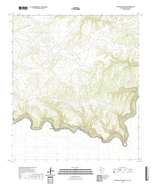
2022 Map of Panther Gulch West
USGS Topo · Published 2022About this map
The Rio Grande Wild and Scenic River forms the southern boundary of this Brewster County landscape, following a sharp bend in the Rio Grande where the river marks the international border between the United States of America and Mexico. The terrain is characterized by dramatic elevation changes as the land rises from the riverbanks toward the north. A significant geographical feature is Barrel Canyon, which cuts through the high ground in the northwestern portion of the map. This 2022 survey captures the area’s persistent character as a protected riparian corridor and remote borderland, showing how the river's path dictates the topography and accessibility of the region. The absence of developed settlements highlights the primitive nature of this stretch of the Rio Grande, preserved for its ecological and scenic value.
Find a feature on this map
5 named features on this map. Tap any name to fly to it.
Don’t see what you’re looking for? This feature index may not catch every label — zoom into the map to look around manually.
Map Details
Editions of this 2022 Panther Gulch West Map
This is the sole edition of this map. No revisions or reprints were ever made.
Other maps of this area

1918 · Reagan Canyon
USGS Topo · 1:62,500

1918 · Bullis Gap
USGS Topo · 1:62,500

1918 · Indian Wells
USGS Topo · 1:62,500

1959 · Emory Peak
USGS Topo · 1:250,000

1965 · Emory Peak
USGS Topo · 1:250,000
1983 · Panther Gulch East
USGS Topo · 1:24,000
1983 · Bullis Gap
USGS Topo · 1:24,000
1983 · Panther Gulch West
USGS Topo · 1:24,000
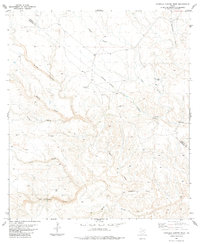
1983 · Candilla Canyon West
USGS Topo · 1:24,000
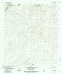
1983 · San Rosendo
USGS Topo · 1:24,000