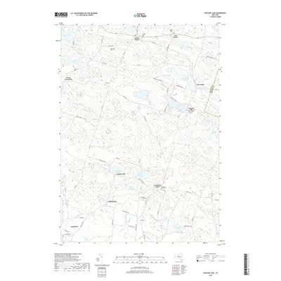
2019 Map of Panther Lake
USGS Topo · Published 2019About this map
Panther Lake sits at the heart of this Central New York landscape, surrounded by a high density of small water bodies and marshes including Whipple Pond, Carterville Pond, and Dutcher Pond. The area is defined by a network of rural hamlets such as Amboy Center, Carterville, and Constantia Center, which are linked by winding county routes and local roads like Dutcherville Rd. Genealogists will find significant value in the distribution of local burial sites, from the prominent Amboy Center Cem and Constantia Center Cem to the smaller Hall Cem and the specific Kinney Family Plot. The terrain is characterized by gentle elevations like Patchen Hill and a complex drainage system led by the Little River and Scriba Cr, illustrating a region where the natural hydrology has dictated the patterns of local settlement and transport for generations.
Find a feature on this map
82 named features on this map. Tap any name to fly to it.
Don’t see what you’re looking for? This feature index may not catch every label — zoom into the map to look around manually.
Map Details
Editions of this 2019 Panther Lake Map
This is the sole edition of this map. No revisions or reprints were ever made.
Other maps of this area

1895 · Chittenango
USGS Topo · 1:62,500

1895 · Syracuse
USGS Topo · 1:62,500

1898 · Syracuse
USGS Topo · 1:62,500

1898 · Chittenango
USGS Topo · 1:62,500

1902 · Chittenango
USGS Topo · 1:62,500

1905 · Mexico
USGS Topo · 1:62,500

1906 · Kasoag
USGS Topo · 1:62,500

1940 · Cicero
USGS Topo · 1:24,000

1941 · Cleveland
USGS Topo · 1:24,000

1941 · Jewell
USGS Topo · 1:24,000