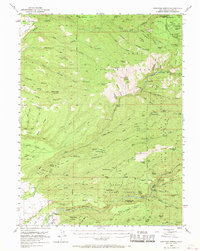
1953 Map of Panther Spring
USGS Topo · Published 1970About this map
The Lassen National Forest terrain in Tehama County is defined by a series of rugged volcanic ridges and deep canyons carved by Antelope Creek and Mill Creek. This early 1950s survey documents a landscape focused on remote livestock management and early conservation, evidenced by numerous seasonal outposts such as Goat Camp, Apperson Cow Camp, and the Facht Homestead. The map provides significant cultural data, marking the Yahi Indian Camp (Ishii Caves) along Deer Creek, a site of profound importance in California history.
Find a feature on this map
122 named features on this map. Tap any name to fly to it.
Don’t see what you’re looking for? This feature index may not catch every label — zoom into the map to look around manually.
Map Details
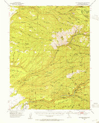
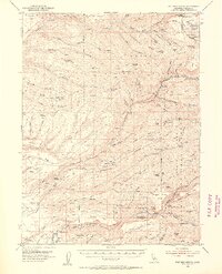
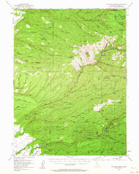
Editions of this 1953 Panther Spring Map
4 editions found
Other maps of this area

1886 · Lassen Peak
USGS Topo · 1:250,000

1890 · Red Bluff
USGS Topo · 1:250,000

1891 · Chico
USGS Topo · 1:125,000

1892 · Lassen Peak
USGS Topo · 1:250,000

1893 · Chico
USGS Topo · 1:125,000

1894 · Lassen Peak
USGS Topo · 1:250,000

1894 · Red Bluff
USGS Topo · 1:250,000

1895 · Chico
USGS Topo · 1:125,000

1904 · Vina
USGS Topo · 1:62,500

1905 · Tehama
USGS Topo · 1:62,500