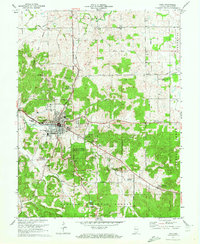
1970 Map of Paoli
USGS Topo · Published 1972About this map
The Old Indian Treaty Boundary and the Second Principal Meridian intersect northwest of Paoli, providing a clear look at the surveying foundations of Southern Indiana. This 1970 revision shows the town as a regional hub where the Monon railroad passes through Braxtons Siding, connecting the agricultural landscape to broader markets. The topography is defined by complex karst features, most notably the Stampers Creek Sinks and the meandering path of the Lost River to the north.
Find a feature on this map
50 named features on this map. Tap any name to fly to it.
Don’t see what you’re looking for? This feature index may not catch every label — zoom into the map to look around manually.
Map Details
Editions of this 1970 Paoli Map
3 editions found
Other maps of this area
1947 · Hardinsburg
USGS Topo · 1:24,000
1949 · Hardinsburg
USGS Topo · 1:24,000
1949 · Georgia
USGS Topo · 1:24,000
1950 · Mitchell
USGS Topo · 1:24,000
1950 · Valeene
USGS Topo · 1:24,000
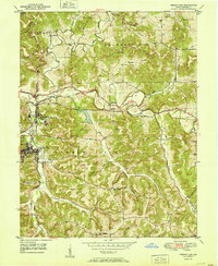
1951 · French Lick
USGS Topo · 1:24,000
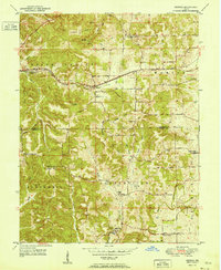
1951 · Georgia
USGS Topo · 1:24,000
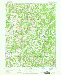
1956 · Greenbrier
USGS Topo · 1:24,000

1956 · Vincennes
USGS Topo · 1:250,000
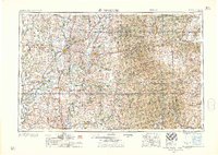
1957 · Vincennes
USGS Topo · 1:250,000