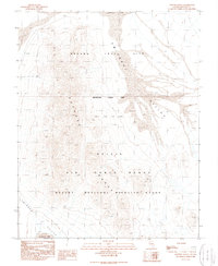
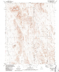
1989 Map of Papoose Range
USGS Topo · Published 1989About this map
The Papoose Range dominates this 1980s topographic study of Lincoln County, revealing a landscape defined by military operations and conservation boundaries. As a provisional map based on 1960s photography, it documents the Nevada Test Site and the Nellis Air Force Range, including a marked Restricted Access Area that underscores the region's historical role in Cold War-era testing and defense. These high-security zones intersect with the Desert National Wildlife Range, illustrating a unique jurisdictional overlap where environmental protection meets strategic military utility.
Find a feature on this map
14 named features on this map. Tap any name to fly to it.
Don’t see what you’re looking for? This feature index may not catch every label — zoom into the map to look around manually.
Map Details
Editions of this 1989 Papoose Range Map
This is the sole edition of this map. No revisions or reprints were ever made.
Other maps of this area

1942 · Emigrant Valley
USGS Topo · 1:125,000

1952 · Papoose Lake
USGS Topo · 1:62,500

1952 · Groom Mine
USGS Topo · 1:62,500

1954 · Caliente
USGS Topo · 1:250,000

1959 · Caliente
USGS Topo · 1:250,000
1961 · Jangle Ridge
USGS Topo · 1:24,000
1961 · Paiute Ridge
USGS Topo · 1:24,000
1962 · Groom Mine SW
USGS Topo · 1:24,000

1985 · Pahranagat Range
USGS Topo · 1:100,000
1986 · Paiute Ridge
USGS Topo · 1:24,000