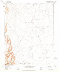
1962 Map of Groom Mine SW
USGS Topo · Published 1963About this map
Nellis Air Force Range and the Nevada Test Site dominate this Cold War-era landscape, where the high desert terrain of the Emigrant Valley was repurposed for national security and atomic research. Published in cooperation with the Atomic Energy Commission, the map documents a strictly controlled environment marked by a Military Test Reservation Site Boundary and an Alpha Contaminated Area.
Find a feature on this map
13 named features on this map. Tap any name to fly to it.
Don’t see what you’re looking for? This feature index may not catch every label — zoom into the map to look around manually.
Map Details
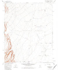
Editions of this 1962 Groom Mine SW Map
2 editions found
Other maps of this area

1908 · Kawich
USGS Topo · 1:250,000

1942 · Emigrant Valley
USGS Topo · 1:125,000

1942 · Wheelbarrow Peak
USGS Topo · 1:125,000

1952 · Tippipah Spring
USGS Topo · 1:62,500

1952 · Papoose Lake
USGS Topo · 1:62,500

1952 · Wheelbarrow Peak
USGS Topo · 1:62,500

1952 · Groom Mine
USGS Topo · 1:62,500

1954 · Caliente
USGS Topo · 1:250,000

1954 · Goldfield
USGS Topo · 1:250,000

1955 · Goldfield
USGS Topo · 1:250,000