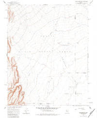
1962 Map of Groom Mine SW
USGS Topo · Published 1983About this map
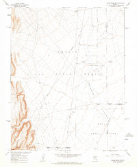
Nellis Air Force Range and the northern reaches of the Nevada Test Site dominate this mid-century topographic record of Nye and Lincoln counties. The landscape is defined by the high-altitude desert of Emigrant Valley, bordered to the west by the rising Groom Hills. This area was mapped in cooperation with the Atomic Energy Commission, reflecting its role as a high-security military zone. Notable features include Contaminated Area Alpha and an Airstrip (Aban'd), alongside infrastructure such as a Water Tank and an Underground Cable. The presence of several Calibration Strips and a Calibration Strip Road suggests the specialized scientific and aeronautic testing that took place in this restricted corridor during the Cold War era.
Find a feature on this map
18 named features on this map. Tap any name to fly to it.
Don’t see what you’re looking for? This feature index may not catch every label — zoom into the map to look around manually.
Map Details
Editions of this 1962 Groom Mine SW Map
2 editions found
Other maps of this area

1908 · Kawich
USGS Topo · 1:250,000

1942 · Emigrant Valley
USGS Topo · 1:125,000

1942 · Wheelbarrow Peak
USGS Topo · 1:125,000

1952 · Tippipah Spring
USGS Topo · 1:62,500

1952 · Papoose Lake
USGS Topo · 1:62,500

1952 · Wheelbarrow Peak
USGS Topo · 1:62,500

1952 · Groom Mine
USGS Topo · 1:62,500

1954 · Caliente
USGS Topo · 1:250,000

1954 · Goldfield
USGS Topo · 1:250,000

1955 · Goldfield
USGS Topo · 1:250,000