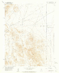
1961 Map of Jangle Ridge
USGS Topo · Published 1962About this map
The Nevada Test Site dominates this early 1960s Cold War landscape, revealing the restricted infrastructure of atomic testing in the high desert. Mapped in cooperation with the Atomic Energy Commission, the terrain is divided into administrative sectors including Area 10 and Area 9, reflecting the era's heavy military and scientific investment. High points such as VABM Poose 6317 and the prominent Jangle Ridge overlook the vast expanse of Emigrant Valley to the north and the Desert Game Range to the east. Transportation is limited to a network of unimproved routes like Groom Lake Road and numerous labeled Jeep Trails that crisscross the arid flats. The map also captures specialized utility infrastructure, including a telephone line underground and a ditch system near the Rhyolite Hills, highlighting the intensive modification of this desert environment for federal mission requirements.
Find a feature on this map
18 named features on this map. Tap any name to fly to it.
Don’t see what you’re looking for? This feature index may not catch every label — zoom into the map to look around manually.
Map Details
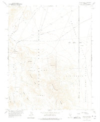
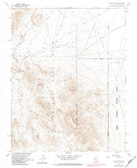
Editions of this 1961 Jangle Ridge Map
3 editions found
Other maps of this area

1908 · Kawich
USGS Topo · 1:250,000

1942 · Emigrant Valley
USGS Topo · 1:125,000

1942 · Wheelbarrow Peak
USGS Topo · 1:125,000

1952 · Tippipah Spring
USGS Topo · 1:62,500

1952 · Papoose Lake
USGS Topo · 1:62,500

1952 · Wheelbarrow Peak
USGS Topo · 1:62,500

1952 · Groom Mine
USGS Topo · 1:62,500

1954 · Caliente
USGS Topo · 1:250,000

1954 · Goldfield
USGS Topo · 1:250,000

1955 · Goldfield
USGS Topo · 1:250,000