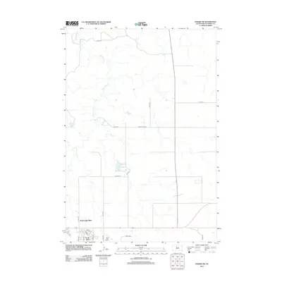
2012 Map of Parade SW
USGS Topo · Published 2012About this map
Eagle Butte and its northern extension, North Eagle Butte, anchor the southern edge of this West River landscape in Dewey and Ziebach Counties. The town's grid is clearly defined by local streets such as Willow St, Main St, and Sesame St, reflecting the modern community footprint. Transportation infrastructure is a central theme, with Hunt Field Airport situated near the intersection of several county highways including Co Hwy-19A and Co Hwy-18.
Find a feature on this map
23 named features on this map. Tap any name to fly to it.
Don’t see what you’re looking for? This feature index may not catch every label — zoom into the map to look around manually.
Map Details
Editions of this 2012 Parade SW Map
This is the sole edition of this map. No revisions or reprints were ever made.
Other maps of this area

1952 · Parade NE
USGS Topo · 1:24,000

1952 · Lantry NE
USGS Topo · 1:24,000

1952 · Parade NW
USGS Topo · 1:24,000

1953 · McIntosh
USGS Topo · 1:250,000

1954 · Pierre
USGS Topo · 1:250,000

1958 · Pierre
USGS Topo · 1:250,000

1958 · McIntosh
USGS Topo · 1:250,000

1981 · Herbert Creek
USGS Topo · 1:24,000

1981 · Herbert Creek NE
USGS Topo · 1:24,000

1981 · Parade SW
USGS Topo · 1:24,000