Loading...
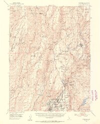
Loading map...1953 Map of Paradise
USGS Topo · Published 1955About this map
The ridge-and-canyon landscape of the Sierra Nevada foothills comes into sharp focus through the mining and timber settlements of the early 1950s. Paradise sits atop a broad plateau, while the Southern Pacific rail line winds north toward the timber hub of Stirling City. The map documents a transition in land use, noting established communities alongside historical locations like Helltown (Site) and Fourteenmile House (Site).
Find a feature on this map
74 named features on this map. Tap any name to fly to it.
Don’t see what you’re looking for? This feature index may not catch every label — zoom into the map to look around manually.
Map Details
Date Portrayed1953
Date Published1955
PublisherU.S. Geological Survey
Map TypeTopographic
Scale1:62,500
Physical Dimensions16.71 x 20.71 inches
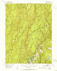
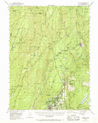
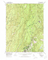
Editions of this 1953 Paradise Map
5 editions found

Historical Maps of Chico Through Time
1 maps found
Featured Locations
Source Details
SourceU.S. Geological Survey
CopyrightPublic Domain