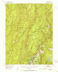
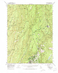
1953 Map of Paradise
USGS Topo · Published 1955About this map
Paradise and the surrounding Sierra Nevada foothills appear during a period of significant hydroelectric and timber development in the early 1950s. The map illustrates a complex network of ridges, including Musty Buck Ridge and Cohasset Ridge, which define the drainage basins of Butte Creek and the West Branch Feather River. This era shows the active infrastructure of the Southern Pacific railroad serving the timber town of Stirling City, alongside numerous gold mining legacies such as the Royal Drift Mine and Dix Mine.
Find a feature on this map
97 named features on this map. Tap any name to fly to it.
Don’t see what you’re looking for? This feature index may not catch every label — zoom into the map to look around manually.
Map Details
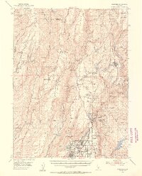
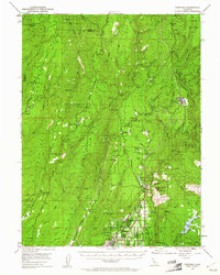
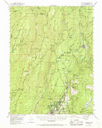
Editions of this 1953 Paradise Map
5 editions found
Other maps of this area

1886 · Lassen Peak
USGS Topo · 1:250,000

1888 · Bidwell Bar
USGS Topo · 1:125,000

1891 · Bidwell Bar
USGS Topo · 1:125,000

1891 · Chico
USGS Topo · 1:125,000

1892 · Lassen Peak
USGS Topo · 1:250,000

1893 · Chico
USGS Topo · 1:125,000

1893 · Bidwell Bar
USGS Topo · 1:125,000

1894 · Lassen Peak
USGS Topo · 1:250,000

1895 · Bidwell Bar
USGS Topo · 1:125,000

1895 · Chico
USGS Topo · 1:125,000