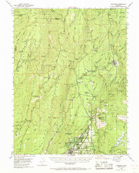
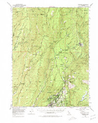
1953 Map of Paradise
USGS Topo · Published 1968About this map
Paradise and the surrounding Ridge country are documented here in the early 1950s, a time when the region's historical mining and timber infrastructure remained clearly visible alongside growing foothill settlements. The map illustrates a landscape shaped by deep ravines and gold-bearing ridges, where the Southern Pacific railroad line once climbed toward Stirling City. Mining operations like the Black Diamond Mine and Empire Mine are mapped alongside several sites that suggest the changing footprint of local industry, including Helltown, Powellton, and Coutolene.
Find a feature on this map
106 named features on this map. Tap any name to fly to it.
Don’t see what you’re looking for? This feature index may not catch every label — zoom into the map to look around manually.
Map Details
Editions of this 1953 Paradise Map
5 editions found
Other maps of this area

1886 · Lassen Peak
USGS Topo · 1:250,000

1888 · Bidwell Bar
USGS Topo · 1:125,000

1891 · Bidwell Bar
USGS Topo · 1:125,000

1891 · Chico
USGS Topo · 1:125,000

1892 · Lassen Peak
USGS Topo · 1:250,000

1893 · Chico
USGS Topo · 1:125,000

1893 · Bidwell Bar
USGS Topo · 1:125,000

1894 · Lassen Peak
USGS Topo · 1:250,000

1895 · Bidwell Bar
USGS Topo · 1:125,000

1895 · Chico
USGS Topo · 1:125,000