
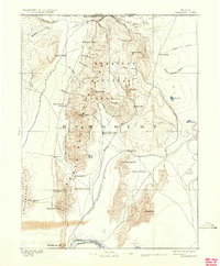
1893 Map of Paradise
USGS Topo · Published 1893About this map
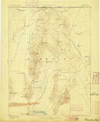
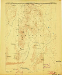
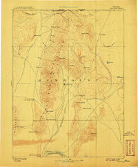
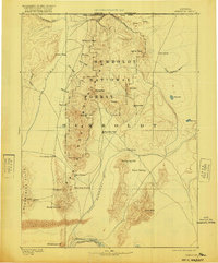
Paradise City sits at the heart of this high-desert basin, serving as a focal point for the surrounding ranches and travel routes established in the late nineteenth century. The settlement pattern is defined by isolated outposts like Cane Springs Station, Flynn Station, and Willow Point Station, which supported the movement of people and livestock through the vast corridor between the Santa Rosa Mountains and the Slumbering Hills. The landscape is dominated by the north-south drainage of the Little Humboldt River and the Quinn River, which provided the necessary water for agriculture in areas like Eden Valley. To the south, the presence of the Central Pacific R.R. near the Humboldt River indicates the vital transit link connecting this remote territory to the wider national economy. This survey documents the transition from a frontier mining and ranching region to a more established network of waystations and small hubs like Hardscrabble.
Find a feature on this map
41 named features on this map. Tap any name to fly to it.
Don’t see what you’re looking for? This feature index may not catch every label — zoom into the map to look around manually.
Map Details
Editions of this 1893 Paradise Map
6 editions found
Other maps of this area

1882 · Paradise
USGS Topo · 1:250,000

1886 · Disaster
USGS Topo · 1:250,000

1893 · Disaster
USGS Topo · 1:250,000

1931 · Lovelock
USGS Topo · 1:250,000

1932 · Sonoma Range
USGS Topo · 1:250,000

1935 · Lovelock
USGS Topo · 1:250,000

1939 · Sonoma Range
USGS Topo · 1:250,000

1945 · Osgood Mountains
USGS Topo · 1:62,500

1945 · Hot Springs
USGS Topo · 1:62,500

1947 · Osgood Mountains
USGS Topo · 1:62,500