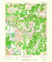
1963 Map of Paradise
USGS Topo · Published 1964About this map
Industrial transformation dominates this landscape along the Green River in the early 1960s. The village of Paradise sits prominently near the southern bend of the river, overshadowed by the massive infrastructure of the TVA Powerplant, complete with its complex of tailings ponds, conveyors, and stacks. This era marks a peak in the region's extraction economy, evidenced by the extensive strip mine operations and smaller mines that weave through the terrain between Echols and Rockport.
Find a feature on this map
43 named features on this map. Tap any name to fly to it.
Don’t see what you’re looking for? This feature index may not catch every label — zoom into the map to look around manually.
Map Details
Editions of this 1963 Paradise Map
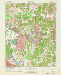
2 editions found
Other maps of this area

1909 · Hartford
USGS Topo · 1:62,500

1909 · Central City
USGS Topo · 1:62,500

1911 · Drakesboro
USGS Topo · 1:48,000

1911 · Dunmor
USGS Topo · 1:48,000

1913 · Drakesboro
USGS Topo · 1:62,500

1914 · Dunmor
USGS Topo · 1:62,500

1952 · Equality
USGS Topo · 1:24,000

1953 · Drakesboro
USGS Topo · 1:24,000

1953 · Central City East
USGS Topo · 1:24,000

1953 · South Hill
USGS Topo · 1:24,000