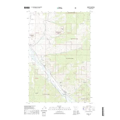
2020 Map of Paradise
USGS Topo · Published 2020About this map
Paradise and Plains anchor this section of Sanders County, where the Clark Fork river carves a wide valley through the Lolo National Forest. The landscape is defined by the sharp transition from the river bottom to the high elevations of the Coeur d'Alene Mountains, marked by landmarks such as Henry Peak and Deemer Peak. The settlement at Paradise is notably concentrated near the river, with a grid including Railroad Ave and Central Ave, reflecting its historical reliance on the rail and water corridor.
Find a feature on this map
48 named features on this map. Tap any name to fly to it.
Don’t see what you’re looking for? This feature index may not catch every label — zoom into the map to look around manually.
Map Details
Editions of this 2020 Paradise Map
This is the sole edition of this map. No revisions or reprints were ever made.
Other maps of this area

1956 · Wallace
USGS Topo · 1:250,000

1959 · Perma
USGS Topo · 1:62,500

1959 · Plains
USGS Topo · 1:62,500

1960 · Wallace
USGS Topo · 1:250,000

1964 · Baldy Lake
USGS Topo · 1:24,000

1964 · Weeksville
USGS Topo · 1:24,000

1964 · Hot Springs
USGS Topo · 1:24,000
1980 · Polson
USGS Topo · 1:100,000
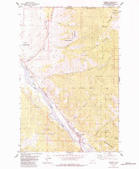
1984 · Paradise
USGS Topo · 1:24,000
1984 · Sunrise Spring
USGS Topo · 1:24,000