
1964 Map of Hot Springs
USGS Topo · Published 1967About this map
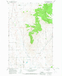
The town of Hot Springs and the nearby settlement of Camas anchor this mid-1960s landscape, where natural thermal features and engineered water systems define the valley's character. The presence of the Camas Canal and the Hot Springs Substa highlights the intersection of local agriculture and utility infrastructure during this era. Historical researchers will find several localized burial sites, including Ventling Cem and Maillet Cem, which offer significant value for genealogical study in Sanders County.
Find a feature on this map
23 named features on this map. Tap any name to fly to it.
Don’t see what you’re looking for? This feature index may not catch every label — zoom into the map to look around manually.
Map Details
Editions of this 1964 Hot Springs Map
This is the sole edition of this map. No revisions or reprints were ever made.
Other maps of this area

1956 · Wallace
USGS Topo · 1:250,000

1959 · Perma
USGS Topo · 1:62,500

1959 · Plains
USGS Topo · 1:62,500

1960 · Wallace
USGS Topo · 1:250,000

1964 · Markle Pass
USGS Topo · 1:24,000

1964 · Coney Peak
USGS Topo · 1:24,000

1964 · Baldy Lake
USGS Topo · 1:24,000

1964 · Lonepine
USGS Topo · 1:24,000
1964 · Hot Springs NE
USGS Topo · 1:24,000
1980 · Polson
USGS Topo · 1:100,000