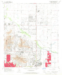
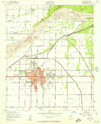
1965 Map of Paradise Valley
USGS Topo · Published 1966About this map
Mummy Mountain and the distinctive northern slopes of Camelback Mountain define the topography of this mid-century desert landscape. During the mid-1960s, the residential expansion of Paradise Valley and Scottsdale is captured in its early suburban form, marked by a growing network of country clubs and private schools. Notable educational and recreational landmarks include the Thunderbird Academy, Judson Sch, and the Century Country Club.
Find a feature on this map
45 named features on this map. Tap any name to fly to it.
Don’t see what you’re looking for? This feature index may not catch every label — zoom into the map to look around manually.
Map Details
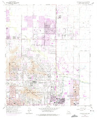
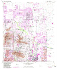
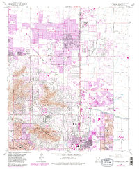
Editions of this 1965 Paradise Valley Map
4 editions found
Other maps of this area

1904 · Camelback
USGS Topo · 1:62,500

1906 · Camelsback
USGS Topo · 1:62,500

1912 · Phoenix
USGS Topo · 1:62,500

1913 · Mesa
USGS Topo · 1:62,500

1914 · Phoenix
USGS Topo · 1:62,500

1915 · Mesa
USGS Topo · 1:62,500

1930 · Cave Creek
USGS Topo · 1:125,000

1939 · Cave Creek
USGS Topo · 1:125,000

1952 · Tempe
USGS Topo · 1:24,000
1952 · Mesa
USGS Topo · 1:24,000