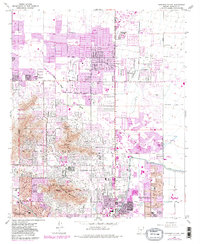
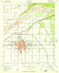
1965 Map of Paradise Valley
USGS Topo · Published 1983About this map
Mummy Mountain and Camelback Mountain anchor the central landscape of this 1965 survey, which was updated in the early 1980s to show the rapid residential expansion across Paradise Valley. The map details the transition from open desert terrain to organized suburban development, with extensive golf courses such as the Camelback Golf Club and Scottsdale Country Club filling the spaces between growing neighborhoods. Institutional landmarks like the Thunderbird Academy and the Mummy Mtn Observatory appear alongside local educational hubs like Kiva Sch and Mohave Sch. The northeast corner is marked by the Scottsdale Muni Airport, while the Arizona Canal cuts through the southeastern section, reflecting the critical water infrastructure required for the region's growth. This edition captures the specific moment when the corporate boundaries of Phoenix and Scottsdale began to fully integrate with the valley floor, reshaping the environment around the Indian Bend Wash.
Find a feature on this map
47 named features on this map. Tap any name to fly to it.
Don’t see what you’re looking for? This feature index may not catch every label — zoom into the map to look around manually.
Map Details
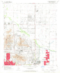
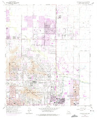
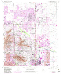
Editions of this 1965 Paradise Valley Map
4 editions found
Other maps of this area

1904 · Camelback
USGS Topo · 1:62,500

1906 · Camelsback
USGS Topo · 1:62,500

1912 · Phoenix
USGS Topo · 1:62,500

1913 · Mesa
USGS Topo · 1:62,500

1914 · Phoenix
USGS Topo · 1:62,500

1915 · Mesa
USGS Topo · 1:62,500

1930 · Cave Creek
USGS Topo · 1:125,000

1939 · Cave Creek
USGS Topo · 1:125,000

1952 · Tempe
USGS Topo · 1:24,000
1952 · Mesa
USGS Topo · 1:24,000