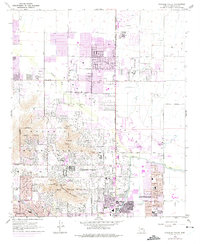
1965 Map of Paradise Valley
USGS Topo · Published 1975About this map
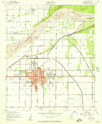
Mummy Mountain and Camelback Mountain dominate this mid-century landscape, providing a dramatic backdrop for the rapid residential expansion of Paradise Valley, Phoenix, and Scottsdale. The 1965 field check reveals a transition from open desert to organized suburbs, punctuated by landmarks like The Praying Monk and the Mummy Mtn Observatory. Large institutions and recreation sites are prominent, including the Thunderbird Academy, Judson Sch, and several sprawling golf courses such as the Paradise Valley Golf Course.
Find a feature on this map
54 named features on this map. Tap any name to fly to it.
Don’t see what you’re looking for? This feature index may not catch every label — zoom into the map to look around manually.
Map Details
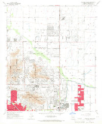
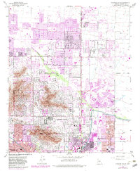
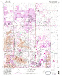
Editions of this 1965 Paradise Valley Map
4 editions found
Other maps of this area

1904 · Camelback
USGS Topo · 1:62,500

1906 · Camelsback
USGS Topo · 1:62,500

1912 · Phoenix
USGS Topo · 1:62,500

1913 · Mesa
USGS Topo · 1:62,500

1914 · Phoenix
USGS Topo · 1:62,500

1915 · Mesa
USGS Topo · 1:62,500

1930 · Cave Creek
USGS Topo · 1:125,000

1939 · Cave Creek
USGS Topo · 1:125,000

1952 · Tempe
USGS Topo · 1:24,000
1952 · Mesa
USGS Topo · 1:24,000