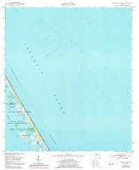
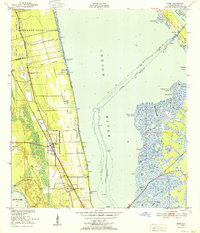
1949 Map of Pardon Island
USGS Topo · Published 1993About this map
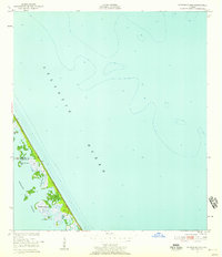
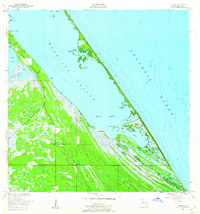
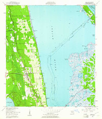
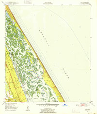
Mosquito Lagoon and the barrier islands of Florida's east coast dominate this landscape, mapped just as the era of space exploration was reshaping the region. The boundary of the John F Kennedy Space Center (Nasa) marks the southern portion of the sheet, illustrating the intersection of high-technology federal installations and preserved coastal wilderness. Much of the land is dedicated to conservation, split between the Canaveral National Seashore and the Merritt Island National Wildlife Refuge. Within the lagoon, smaller landforms like Pardon Island, Three Cabbage Island, and the waterway of Pardon Slough provide detail for those interested in the intricate hydrography of the Intracoastal region. The map also captures the maritime boundary between Volusia and Brevard counties as it cuts through the lagoon towards the Atlantic Ocean.
Find a feature on this map
14 named features on this map. Tap any name to fly to it.
Don’t see what you’re looking for? This feature index may not catch every label — zoom into the map to look around manually.
Map Details
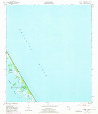
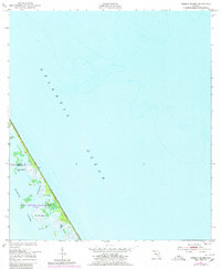
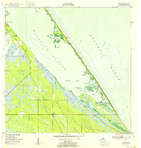
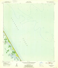
Editions of this 1949 Pardon Island Map
4 editions found
Other maps of this area
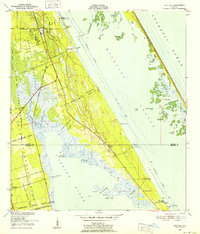
1949 · Oak Hill
USGS Topo · 1:24,000
1949 · Pardon Island
USGS Topo · 1:24,000
1949 · Wilson
USGS Topo · 1:24,000
1949 · Mims
USGS Topo · 1:24,000
1950 · Ariel
USGS Topo · 1:24,000
1952 · Mims
USGS Topo · 1:24,000
1952 · Wilson
USGS Topo · 1:24,000
1952 · Pardon Island
USGS Topo · 1:24,000

1955 · Orlando
USGS Topo · 1:250,000

1957 · Orlando
USGS Topo · 1:250,000