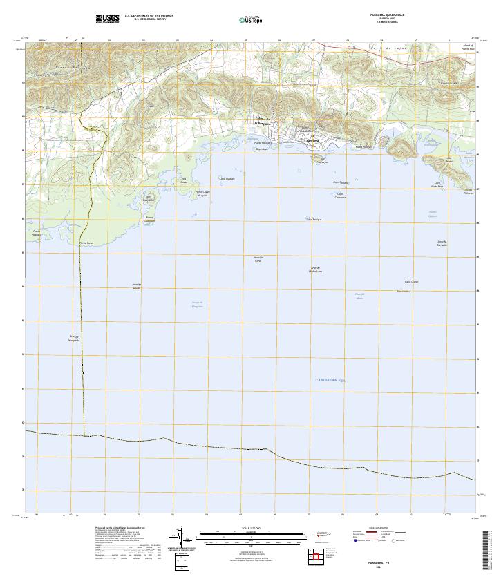
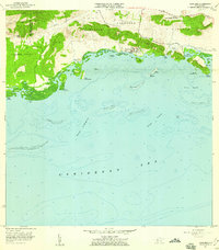
2024 Map of Parguera
USGS Topo · Published 2024About this map
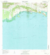
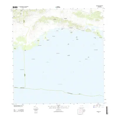
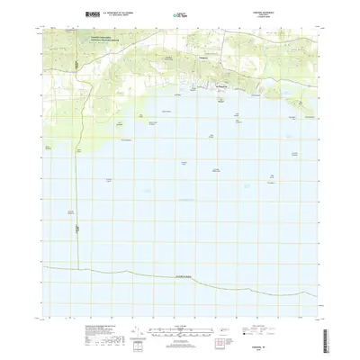
Sierra Bermeja rises sharply above the southern coast of Puerto Rico, overlooking a complex shoreline defined by mangrove keys and coral reefs. This southwestern region, situated within the Valle de Lajas, transitions from the protected wetlands of the Laguna Cartagena National Wildlife Refuge to the celebrated waters of Bahía Fosforescente. The village of La Parguera serves as the central hub for this coastal landscape, where local roads like Ave Los Pescadores and Ave Angel Luis Lopez connect the settlement to the waterfront. Offshore, an extensive network of cays including Isla Magueyes, Cayo Caracoles, and Cayo Enrique creates a protected marine environment. The map details the intricate geography of the Caribbean Sea shelf, marking numerous reefs such as Arrecife Coral and Arrecife Margarita that have historically dictated maritime navigation and local fishing patterns in the area.
Find a feature on this map
51 named features on this map. Tap any name to fly to it.
Don’t see what you’re looking for? This feature index may not catch every label — zoom into the map to look around manually.
Map Details
Editions of this 2024 Parguera Map
This is the sole edition of this map. No revisions or reprints were ever made.
Historical Maps of Villa Caribe Through Time
11 maps found
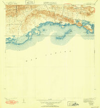
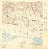
1938 Parguera
Lajas Municipio, PR
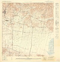
1949 Parguera NE
Lajas Municipio, PR
1949 Parguera NO
Lajas Municipio, PR
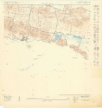
1949 Sabana Grande SO
Lajas Municipio, PR
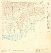
1949 San German SE
Lajas Municipio, PR
1949 San German SO
Lajas Municipio, PR
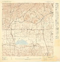
1957 Parguera
Lajas Municipio, PR
1966 Parguera
Lajas Municipio, PR
2013 Parguera
Lajas Municipio, PR
2018 Parguera
Lajas Municipio, PR
2024 Parguera
Lajas Municipio, PR