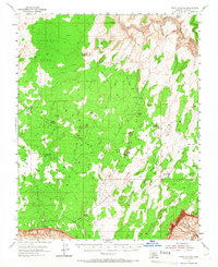
1954 Map of Paria Plateau
USGS Topo · Published 1966About this map
Jarvis Ranch and Joes Ranch sit as remote outposts within this high desert expanse during the early 1950s, representing the sparse human footprint on the massive Paria Plateau. The landscape is dominated by complex geological features, from the dramatic southern edge of the Vermilion Cliffs to the eroded breaks of the Paria River canyon system in the northeast. Water management in this arid environment is evidenced by essential landmarks like Pine Tree Pockets Well, Middle Reservoir, and various named tanks. A network of primitive transport routes, primarily labeled as Jeep Trail, connects these water sources and ranch sites across varied terrain including Poverty Flat, Pinnacle Valley, and the Sand Hills. The map provides a detailed view of the natural sinks and geological formations that define the region, such as White Pocket, Big Sink, and Mexican Sink.
Find a feature on this map
29 named features on this map. Tap any name to fly to it.
Don’t see what you’re looking for? This feature index may not catch every label — zoom into the map to look around manually.
Map Details
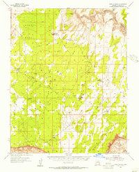
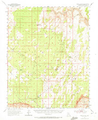
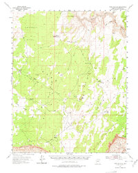
Editions of this 1954 Paria Plateau Map
4 editions found
Other maps of this area

1886 · Kanab
USGS Topo · 1:250,000

1886 · Escalante
USGS Topo · 1:250,000

1886 · Echo Cliffs
USGS Topo · 1:250,000

1886 · Kaibab
USGS Topo · 1:250,000

1891 · Echo Cliffs
USGS Topo · 1:250,000

1936 · Jacobs Lake
USGS Topo · 1:48,000

1940 · Jacob Lake
USGS Topo · 1:62,500

1953 · Jacobs Lake
USGS Topo · 1:62,500

1953 · Nipple Butte
USGS Topo · 1:62,500

1953 · Cedar City
USGS Topo · 1:250,000