
1967 Map of Paris
USGS Topo · Published 1968About this map
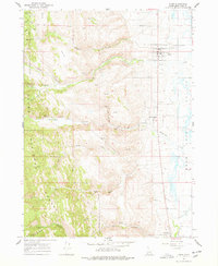
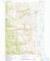
Paris and Bloomington sit at the western edge of the Bear Lake Valley in this late-1960s survey. The landscape transitions sharply from the agricultural flats along the Bear Lake shoreline to the steep drainages of the Cache National Forest. Resource extraction and infrastructure define the canyons, where the Powerplant in Paris Canyon and various mines like the Boulder Mine indicate a history of local industry. Educational landmarks such as Emerson Sch and the Bear Lake Jr HS are centered in the village of Paris, the local seat of commerce.
Find a feature on this map
43 named features on this map. Tap any name to fly to it.
Don’t see what you’re looking for? This feature index may not catch every label — zoom into the map to look around manually.
Map Details
Editions of this 1967 Paris Map
3 editions found
Other maps of this area

1909 · Montpelier
USGS Topo · 1:125,000

1911 · Montpelier
USGS Topo · 1:125,000

1915 · Preston
USGS Topo · 1:96,000

1918 · Preston
USGS Topo · 1:125,000

1955 · Preston
USGS Topo · 1:250,000

1958 · Preston
USGS Topo · 1:250,000

1962 · Preston
USGS Topo · 1:250,000

1967 · Montpelier
USGS Topo · 1:24,000

1967 · Ovid
USGS Topo · 1:24,000

1967 · Dingle
USGS Topo · 1:24,000