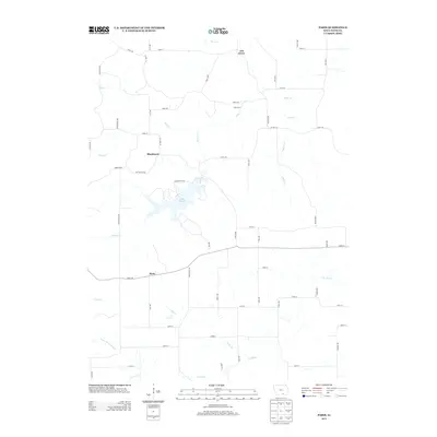
2013 Map of Paris
USGS Topo · Published 2013About this map
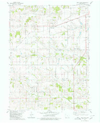
Lake Wapello and its intricate shoreline dominate the central landscape of this Davis County survey, serving as a primary focal point amidst a network of small rural settlements. The area around Paris and Blackhawk exhibits a classic mid-century agricultural road grid, where local routes like Bunch Rd and Campground Rd link family farms to the water and nearby creek systems. The southern portion of the quadrangle is defined by the winding course of the Fox River, which, along with N Fox Cr, shapes the local drainage and topography. To the north, the small settlement of Ash Grove sits near the headwaters of Bear Cr, illustrating the typical placement of early Iowa hamlets near reliable water sources and high ground landmarks like Oak Spring. This map reflects the enduring rural character of the region, capturing the spatial relationship between its dispersed communities and the significant regional reservoir.
Find a feature on this map
57 named features on this map. Tap any name to fly to it.
Don’t see what you’re looking for? This feature index may not catch every label — zoom into the map to look around manually.
Map Details
Editions of this 2013 Paris Map
This is the sole edition of this map. No revisions or reprints were ever made.
Other maps of this area

1954 · Centerville
USGS Topo · 1:250,000

1956 · Ottumwa South
USGS Topo · 1:24,000

1956 · Ottumwa South
USGS Topo · 1:62,500

1957 · Centerville
USGS Topo · 1:250,000

1958 · Centerville
USGS Topo · 1:250,000
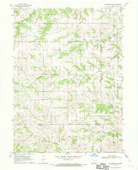
1968 · Blakesburg NE
USGS Topo · 1:24,000

1968 · Unionville
USGS Topo · 1:24,000
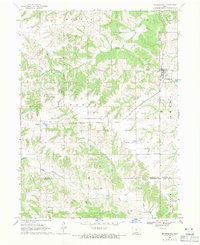
1968 · Blakesburg
USGS Topo · 1:24,000
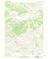
1968 · Paris
USGS Topo · 1:24,000
1979 · West Grove
USGS Topo · 1:24,000