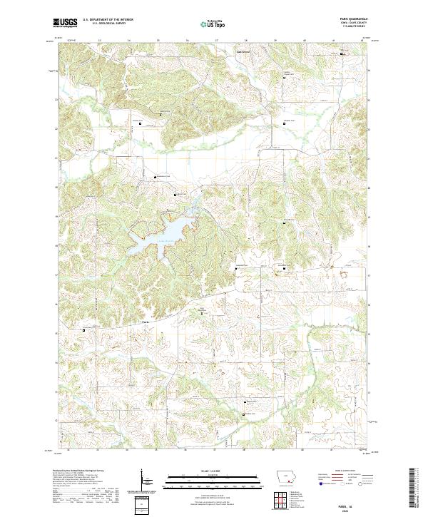
2022 Map of Paris
USGS Topo · Published 2022About this map
Lake Wapello serves as a central landmark in this portion of Davis County, where the topography transitions between forested drainages and upland agricultural tracts. The small settlement of Paris sits south of the lake, connected by local routes like Bunch Rd and Co Hwy J3T. This area is particularly dense with small family and community burial grounds, such as Hanson Cem, Glassburner Cem, and McConnell Cem, reflecting the early rural settlement patterns of the region. The landscape is defined by the winding paths of Soap Cr in the north and the Fox River in the south, which have carved intricate valley systems through the townships of t70n r15w and t69n r15w. These waterways and the scattered cemeteries like Wesley Chapel Cem provide a clear map of the 19th-century pioneer footprint that persists into the modern era.
Find a feature on this map
53 named features on this map. Tap any name to fly to it.
Don’t see what you’re looking for? This feature index may not catch every label — zoom into the map to look around manually.
Map Details
Editions of this 2022 Paris Map
This is the sole edition of this map. No revisions or reprints were ever made.
Other maps of this area

1954 · Centerville
USGS Topo · 1:250,000

1956 · Ottumwa South
USGS Topo · 1:24,000

1956 · Ottumwa South
USGS Topo · 1:62,500

1957 · Centerville
USGS Topo · 1:250,000

1958 · Centerville
USGS Topo · 1:250,000
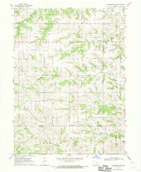
1968 · Blakesburg NE
USGS Topo · 1:24,000

1968 · Unionville
USGS Topo · 1:24,000
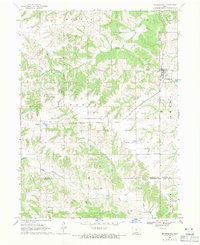
1968 · Blakesburg
USGS Topo · 1:24,000
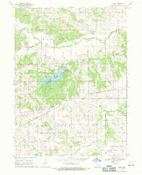
1968 · Paris
USGS Topo · 1:24,000
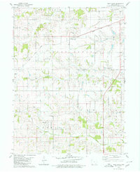
1979 · West Grove
USGS Topo · 1:24,000