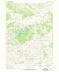
1968 Map of Paris
USGS Topo · Published 1971About this map
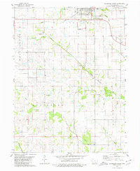
Wapello State Park anchors the central landscape of this rural Davis County survey, surrounding the waters of Wapello Lake with its Campground, Fish Hatchery, and dedicated picnic areas. The terrain is defined by the winding paths of Soap Creek and its southern branch, alongside several forks of the Fox River to the south. Small settlements like Paris and Ash Grove serve as local hubs, while the Chicago Rock Island and Pacific railroad cuts a diagonal line across the southern half of the quadrangle.
Find a feature on this map
31 named features on this map. Tap any name to fly to it.
Don’t see what you’re looking for? This feature index may not catch every label — zoom into the map to look around manually.
Map Details
Editions of this 1968 Paris Map
This is the sole edition of this map. No revisions or reprints were ever made.
Other maps of this area

1954 · Centerville
USGS Topo · 1:250,000

1956 · Ottumwa South
USGS Topo · 1:24,000

1956 · Ottumwa South
USGS Topo · 1:62,500

1957 · Centerville
USGS Topo · 1:250,000

1958 · Centerville
USGS Topo · 1:250,000
1968 · Blakesburg NE
USGS Topo · 1:24,000

1968 · Unionville
USGS Topo · 1:24,000
1968 · Blakesburg
USGS Topo · 1:24,000
1979 · West Grove
USGS Topo · 1:24,000
1979 · Bloomfield South
USGS Topo · 1:24,000